Nahiyah Diban | Time zone EET (UTC+2) | |
 | ||
Occupation Islamic State of Iraq and the Levant | ||
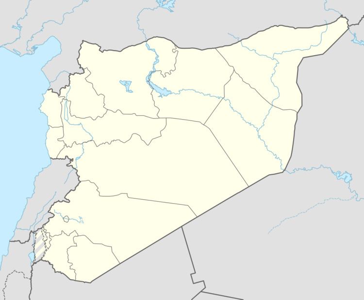
Diban (Arabic: ذيبان, also spelled Thiban or Dhiban) is a town in eastern Syria, administratively part of the Deir ez-Zor Governorate, located along the eastern bank of the Euphrates River, south of Deir ez-Zor, 17 kilometers south of al-Busayrah and 13 kilomaters north of Asharah. Nearby localities include Mayadin to the north and east, al-Hawayij to the northeast, Makhan to the south and al-Tayanah to the southeast According to the Syria Central Bureau of Statistics, Diban had a population of 9,000 in the 2004 census. It is the administrative seat of a nahiyah ("subdistrict") which consists of ten localities with a total population of 65,079 in 2004.
Map of Diban, Syria
Part of Diban is situated on a hill called Tell Diban, which is also an archaeological site. Tell Diban is identified with the ancient Aramean city of Rummunina, a probable derivation of the Aramaic word rumman ("pomegranate"). The city and its surrounding fields served as a pre-war camp for Assyrian king Tukulti-Ninurta II's army during his last military campaign in 885 BCE. The king reported that Rummunina was situated along a canal of the Khabur River, a tributary of the Euphrates. According to Belgian orientalist Edward Lipinsky, Tell Diban was "certainly occupied during the Iron Age."
