
Manatiq (Districts) 3 ISO 3166 code SY-DY Area 33,060 km² University Al-Furat University | Time zone EET (UTC+2) Main language(s) Arabic Population 1.239 million (2011) Team Al-Fotuwa SC | |
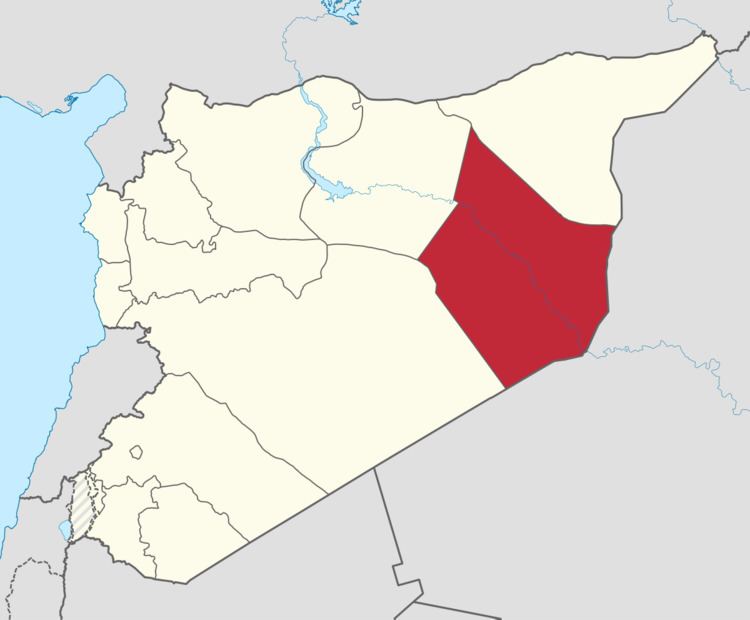 | ||
Deir ez-Zor Governorate (Arabic: مُحافظة دير الزور / ALA-LC: Muḥāfaẓat Dayr az-Zawr) is one of the fourteen governorates of Syria. It is situated in eastern Syria, bordering Iraq. It has an area of 33,060 km² and a population of 1,202,000 (2010 estimate). The capital is Deir ez-Zor.
Contents
Map of Deir Ez-Zor Governorate, Syria
Districts
The governorate is divided into 3 districts (manatiq):
These are further divided into 14 sub-districts (nawahi).
History
Deir ez-Zor was the location of Israel's execution of Operation Orchard on September 6, 2007. Israel bombed a northern Syrian complex suspected of holding nuclear materials from North Korea.
In 2014 Islamic State forces massacred an estimated 900 members of the Al-Shaitat tribe in the governorate, following resistance to the Islamic State's occupation of the area. As of February 2016, the Islamic State of Iraq and the Levant controls all of the countryside while Syrian Government forces hold out in the capital.