
 | ||
The Diamantina Fracture Zone is an area of the south-eastern Indian Ocean seafloor. It has a range of ridges and trenches. It lies to the south of the mideastern Indian Ocean features of the Wharton Basin and Perth Basin, and to the south west of the Naturaliste Plateau.
Contents
Escarpment
Being parallel to the Southeast Indian Ridge, Diamantina Fracture Zone is not a real fracture zone in the sense of plate tectonics, but rather an escarpment, separating two oceanic plateaus. In fact its extension to the west is called Diamantina Escarpment. This is the southern border of the Broken Ridge Plateau. All these features are mirrored by corresponding topography on the other side of the Southeast Indian Ridge. Broken Ridge Plateau was formed at the ridge together with the Kerguelen Plateau.
Exploration
Diamantina Fracture Zone was first detected by RV Vema and RV Argo in 1960. It is named after HMAS Diamantina (K377), which did further exploration in 1961.
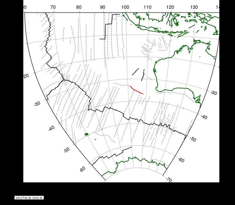
Bathymetry
The Diamantina Deep is the zone's deepest location, located about 1 125 km West-South-West of Perth, Western Australia, at 35°S 104°E. This is not the deepest point in the Indian Ocean: the CIA's Physical Map of the World lists the Java Trench as such. On the western side of the Diamantina Fracture Zone at 33°30′S 101°20′E is another, larger pit, named Dordrecht Hole, with a north-south extent of 50 km. Its maximum depth is 7079 m at 33.42°S 101.48°E / -33.42; 101.48. Dordrecht was the name of a vessel of the Dutch East India Company, which explored the Australian west coast in 1619 and discovered the Houtman Abrolhos.
The shallowest point in the area is the 1125-metre point in the Broken Ridge close to Ninety East Ridge.