
PIN 523 263 Elevation 32 m Area code 8593 | Time zone IST (UTC+5:30) Telephone code 8593 Local time Monday 11:36 PM | |
 | ||
Weather 28°C, Wind SE at 5 km/h, 84% Humidity | ||
Dhenuva Konda is a village in Andhra Pradesh, India.
Contents
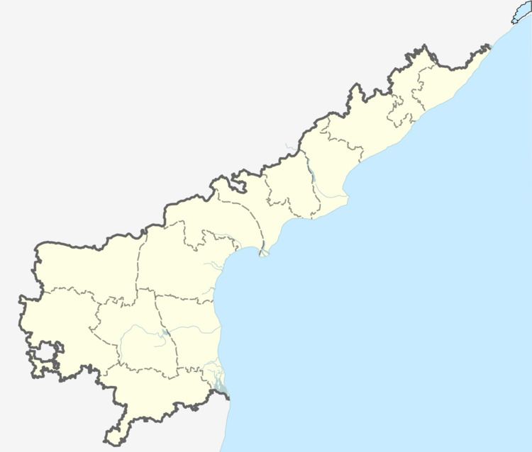
Map of Dhenuvakonda, Andhra Pradesh 523263
Geography
Dhenuva Konda (literally "Cow Hill") is located near to the bank of Gundlakamma river. Dhenuva Konda is surrounded by hills on three sides and wet fields on the north side. In the village there is fertile lands in north, east and part of west sides and dry lands are on south side.and it is next to the village doddavaram .
Weather
Temperatures range from a low of about 28 degrees Celsius to a high 44 degrees. Keeping a constant of 32 degrees Celsius. The mean daily maximum is 30 degrees Celsius in January rising to 45 degrees Celsius in July.
Language
The official language is Telugu and commonly used in business and commerce.
Transport
Dhenuva Konda is located 31 km south (by road) from Ongole. The route is: 17 km south from Ongole to Vellampalli (towards Guntur on NH5) and 9 km south-west from there (towards Tallur). There are APSRTC buses serve the village with bus connectivity.
Education
The village has two government schools and the detailed school information can be found in the references.