
Country Bangladesh District Sunamganj District Postal code 2450 Local time Monday 11:13 PM | Division Sylhet Division Time zone BST (UTC+6) Area 496 km² | |
 | ||
Weather 22°C, Wind E at 5 km/h, 78% Humidity | ||
Dharamapasha (Bengali: ধরমপাশা), also spelled Dharampasha and Dharmapasha, is an Upazila of Sunamganj District in the Division of Sylhet, Bangladesh.
Contents
Map of Dharmapasha Upazila, Bangladesh
Geography
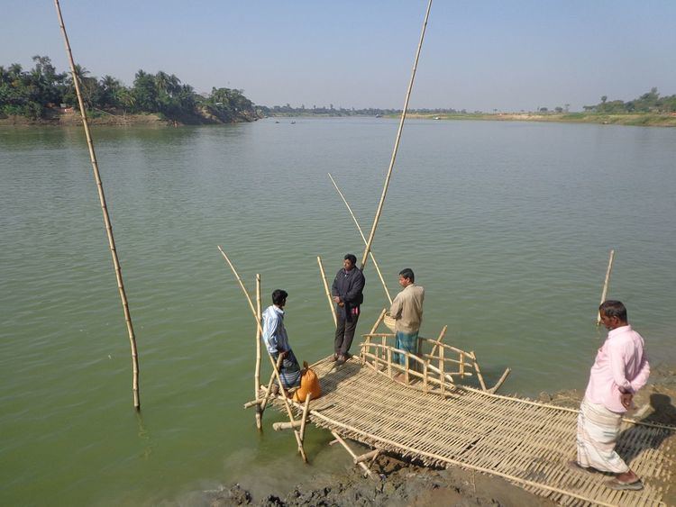
Dharamapasha is located at 24.9000°N 91.0167°E / 24.9000; 91.0167 . It has 28368 households and total area 496.03 km². It is located on the banks of the Kangsha River close to the haor areas. The largest haor of Bangladesh called Tanguar haor is located in this upazila and its neighbouring upazila Tahirpur. This haor is one of the world heritage sites.
Demographics
As of the 1991 Bangladesh census, Dharamapasha has a population of 164131. Males constitute 51.41% of the population, and females 48.59%. This Upazila's eighteen up population is 80347. Dharamapasha has an average literacy rate of 20.8% (7+ years), and the national average of 32.4% literate. The neighbouring upazilas are Mohanganj, Barhatta, Kalmakanda, Jamalganj and Tahirpur.
Economy
Dharamapasha has 14 famous market places, mostly famous for agricultural products, domestic animals, sand, and stones.
Administration
Dharamapasha has 10 Unions/Wards, 1, Dharmapasha Union 2, Selborosh Union 3, Paikoraty Union 4, Joysry Union 5, Sukair Rajapur (North) Union 6, Sukair Rajapur (East) Union 7, Maddanagar Union 8, Chamardany Union 9, Bonshikonda (North) Union 10, Bonshikonda (East) Union
182 Mauzas/Mahallas, and 313 villages. There are 18 Post offices, One Govt. Hospital, One Health Center, One Sub-Health Center and Twenty two community clinics in Dharmapasha Upazila.
Education
Primary