
Country India District Jodhpur Time zone IST (UTC+5:30) Elevation 273 m ISO 3166 code ISO 3166-2:IN | State Rajasthan Tehsil Balesar PIN 342001 Population 901 (2001) | |
 | ||
'Dhandhaniya is a village in Jodhpur district, Rajasthan, India.
Contents
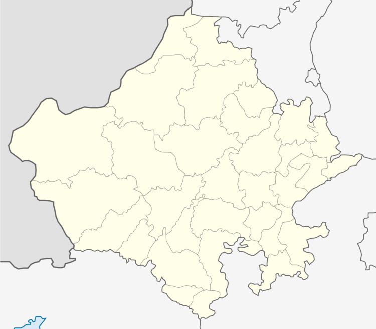
Map of Dhandhaniya Sasan, Rajasthan
About village
Dhandhaniya Sasan is a Village in Balesar Tehsil in Jodhpur District of Rajasthan State, India. It belongs to Jodhpur Division . It is located 64 KM towards west from District head quarters Jodhpur. 392 KM from State capital Jaipur
Dhandhaniya Sasan Pin code is 342001 and postal head office is Jodhpur .
Dhandhaniya Sasan is surrounded by Shergarh &Balesar Tehsil towards west , Jodhpur Tehsil towards East , Osian Tehsil towards East , Mandor Tehsil towards East .
Jodhpur , Pipar City , Pali , Jalore are the nearby Cities to Dhandhaniya Sasan.
History of village
ढांढणिया सांसण गॉंव का प्राचीन नाम रतनाकर था । ढांढणिया सांसण गॉव इन्दा राजपूतों (प्रतिहार ) के द्वारा चारणों को जागीरदारी के रूप में दिया । इस गाँव में "लालस" गोत्र के चारण रहते हैं । इस गॉंव के पुर्वजो में देपोजी लालस, रतन जी लालस थे । यहां के चारणों कि कुल देवी "श्री दुगाय माता है । लालस गोत्र के लोग "श्रेणी माता" कि पुजा करते हैं ।
Geography
Dhandhaniya Sasan is located in the Thar Desert at an elevation of 230 meters above mean sea level. The village is on National Highway 114 between Jodhpur and Jaisalmer.
Demographics
State: Rajasthan District: Jodhpur Sub-district: balesar Village: Dhandhaniya Sasan
Area details Area of village (in hectares)~999 Number of households ~133 Population data based on 2001 census
Total population - Persons =901 Total population - Males = 457 Total population - Females = 444