District Agra Vehicle registration UP 80 Population 23,475 (2001) | Time zone IST (UTC+5:30) Local time Monday 10:09 PM | |
 | ||
Weather 19°C, Wind N at 6 km/h, 47% Humidity | ||
Dhanauli is a census town in Agra district in the state of Uttar Pradesh, India. Mainly Dhanauli is covered with SC people which is a big number out of whole society . Here all religious people exists .
Contents
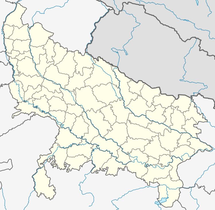
Map of Dhanauli, Agra, Uttar Pradesh
History
Dhanauli has also been known as Dhanoli. This had been a small village for major part of the 20th Century. This small village used to revolve around a powerful family of Paliwals. This family controlled most of the land and the revenue coming out of it was shared with the Mughal kingdom of Agra. Paliwals migrated to Dhanauli sometime during 16th-17th century from Rajasthan. They created a small settlement and over a period of time became very rich and powerful. The main occupation of Paliwals was farming and money-lending.
Till the late 1980s the village was fairly small. However, a caste related violence in 1991 between Jats and Jatavs, forced the Jatavs of the hinterland to move out and settle in Dhanauli which is fairly close to the Agra city.
Demographics
As of 2001 India census, Dhanauli had a population of 23,475. Males constitute 54% of the population and females 46%. Dhanauli has an average literacy rate of 68%, higher than the national average of 59.5%: male literacy is 79% and, female literacy is 55%. In Dhanauli, 19% of the population is under 6 years of age.
