
Area 300.8 km² | Time zone BST (UTC+6) Population 184,778 (2011) | |
 | ||
Website Official Map of Dhamoirhat | ||
Dhamoirhat (Bengali: ধামইরহাট) is an Upazila of Naogaon District in the Division of Rajshahi, Bangladesh. The main river of the Dhamoirhat Upazila is the Atrai. Located at the north and 51 km far from Naogaon Sadar Upazila, it is bounded by India's West Bengal on the north and west, Joypurhat Sadar Upazila on the east & Nazipur on the south region.
Contents
- Map of Dhamoirhat Bangladesh
- History
- Geography
- Climate
- Demographics
- Points of interest
- Administration
- Education
- References
Map of Dhamoirhat, Bangladesh
History
During the War of Liberation the Pak army had camps at places like Farsipara, Pagla Dewan, Rangamati, etc. Direct encounter between the Pak army and the freedom fighters were held at Piral Danga, Gangra, Kulfatpur and Rangamati with heavy casualty on both sides.The Pak army burnt and sacked the village Kulfatpur and killed 14 innocent villagers.Marks of War of Liberation Mass grave: 2 (Farsipara, Pagla Dewan).
Geography
Dhamoirhat is located at 25.1444°N 88.8611°E / 25.1444; 88.8611 . It has 29661 households and total area 300.8 km².
Climate
Dhamoirhat is placed in moonsoon area.In the summer, temp. is about 40 degree & in the rainy season(June–July) rain drops as well.
Demographics
At the 2011 Bangladesh census, Dhamoirhat had a population of 184778. Males constituted 51.73% of the population, and females 48.27%; Muslim 89.81%, Hindus 6.92%, Christians 1.71%, and tribals 1.56%.The tribal people are almost exclusively Santals.Dhamoirhat had an average literacy rate of 28.4% (7+ years), against the national average of 32.4% literate.Main occupations is Agriculture 51.65%, agricultural labourer 33.01%, wage labourer 1.99%, service 2.63%, commerce 4.76%, others 5.96%.Land use Total cultivable land 42425 hectares, fallow land 390 hectares; single crop 39%, double crop 37% and treble crop land 24%. Land under irrigation 42%. Land control Among the peasants 12% are rich, 23% medium, 22% marginal, 24% landless, and 19% small; cultivable land per head 0.28 hectare. Value of land The market of value of land of first grade is Tk 5000 per 0.01 hectare. Main crops Paddy, wheat, jute, brinjal, potato, patal, mustard seed, pulse, onion, garlic, tamarind, til, carrot, cauliflower. Extinct or nearly crops Local variety of paddy, kaun, linseed, pulse, jab, bajra. Main fruits Mango, black berry, jackfruit, banana, litchi, papaya, guava and watermelon. Dairies, poultries and fisheries Dairy 3, poultry 33, fishery 21, hatchery1. Communications facilities Roads: Pucca 70 km, mud road 322 km. Traditional transport Palanquin, dhuli, horse carriage, bullock cart. These means of transport are extinct of nearly extinct. Manufactures Biscuit factory 6, ice factory 6. Cottage industries Bamboo work 42, potteries 60, sewing machine 305, welding work 32, iron smith 12, goldsmith 25. Hats, bazars and fairs Total number of hats and bazars 25; fairs 9, most noted of which is Madarer Mela at Sankarpur. Main exports Banana, bringal, patal, tamarind, water melon.
Health centres Upazila health complex 1, Christian mission hospital 1, satellite clinic 3, family welfare centres 5.
Points of interest
Administration
Dhamoirhat thana was established in 1922 and was turned into an upazila in 1983. It consists of eight union parishads and one poroshova, 212 mouzas and 250 villages.
Dhamoirhat has 8 Unions/Wards, 212 Mauzas/Mahallas, and 250 villages.
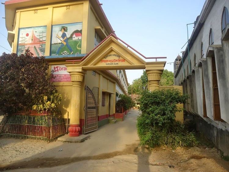
Education
Average literacy rate of Dhamoirhat Upazila is 28.4%; where male includes 34% & female 22.2%.
Educational Institutions: College 3, High School 29, Madrasa (Non-Govt ) 37, Government primary school 64, Non-Government primary school 29, Satellite school 4, Kindergarten 1, Mission school 1, Vocational institutions 1, orphanage 4.