
District Dhar Vehicle registration MP Population 26,270 (2001) ISO 3166 code ISO 3166-2:IN | Time zone IST (UTC+5:30) Elevation 163 m Local time Monday 10:03 PM | |
 | ||
Weather 27°C, Wind NE at 3 km/h, 26% Humidity Neighborhoods Patel Colony, Shiv Colony, Rampura, Muktanand Parisar, Sati Vihar Colony, Narayan Vihar, Omkar Colony | ||
Dhamnod is a town and a nagar panchayat in Dhar district in the state of Madhya Pradesh, India.
Contents
Map of Dhamnod, Madhya Pradesh 454552
Demographics
As of 2001 India census, Dhamnod had a population of 26,270. Males constitute 52% of the population and females 48%. Dhamnod has an average literacy rate of 60%, higher than the national average of 59.5%: male literacy is 68% and, female literacy is 51%. In Dhamnod, 15% of the population is under 6 years of age.
Professional education
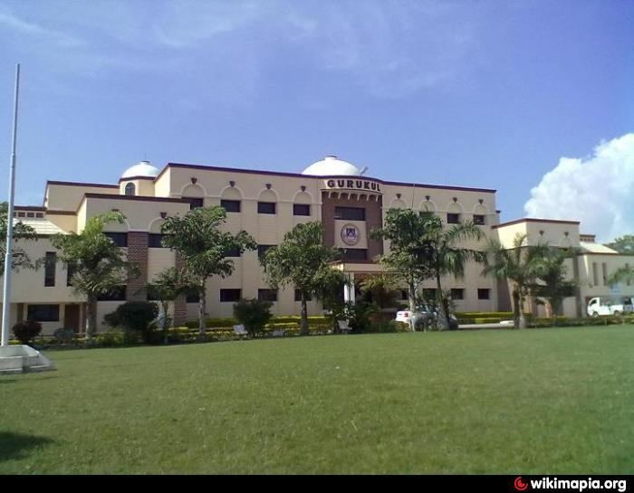
Nimar Institute of Pharmacy, ITI, Maa Narmada Degree College, Aadarsh Institute of management and science,
References
Dhamnod Wikipedia(Text) CC BY-SA