Time zone IST (UTC+5:30) Local time Wednesday 4:12 AM | PIN 314403 Population 4,010 (2011) | |
 | ||
Weather 21°C, Wind SW at 2 km/h, 53% Humidity | ||
Dhambola is a panchayat village in Simalwara Tehsil of Dungarpur District, Rajasthan, India.
Contents
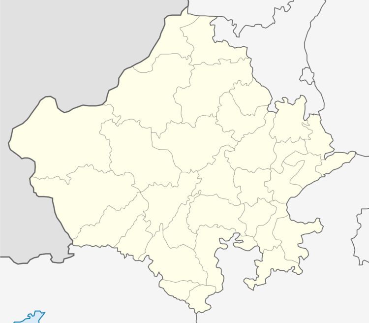
Map of Dhambhola, Rajasthan
There are three villages in the Dhambola gram panchayat: Dhambola, Kesharpura, and Merop.
Geography
Dhambola lies on the left bank of a tributary to the Vatrak River, just downstream from the Talab reservoir. The main highway through the village is State Highway 54 which runs north to the town of Dungarpur and south to the town of Simalwara.
Demographics
In the 2011 census the village of Dhambola had 4,110 people forming 868 families. 16.6% of the population was below the age of six. The Sex Ratio for children in Dhambola as per the census was .866 females to 1 male, a likely indicator of female infanticide. The literacy rate in Dhambola was 69.00%, with the male rate being 77.89% and the female rate 59.87%. Agriculture occupied less than 10% of the village workers.
