
District Tirupur district Elevation 367 m Population 6,303 (2001) | Time zone IST (UTC+5:30) Local time Wednesday 4:05 AM | |
 | ||
Weather 24°C, Wind SW at 2 km/h, 84% Humidity | ||
Dhali is a panchayat town in Tirupur district in the state of Tamil Nadu, India.
Contents
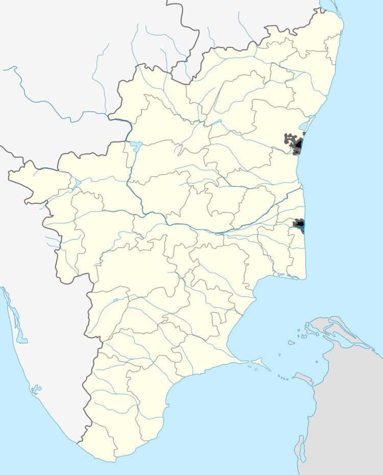
Map of Dhali, Tamil Nadu
Geography
Dhali is located at 10.5°N 77.17°E / 10.5; 77.17. It has an average elevation of 367 metres (1204 feet). Dhali is located in Tirupur District, which has been newly formed.
Demographics
As of 2001 India census, Dhali had a population of 6303. Males constitute 50% of the population and females 50%. Dhali has an average literacy rate of 59%, lower than the national average of 59.5%: male literacy is 64% and, female literacy is 54%. In Dhali, 10% of the population is under 6 years of age.
References
Dhali, India Wikipedia(Text) CC BY-SA