
Length 160 km | Source Brahmaputra River | |
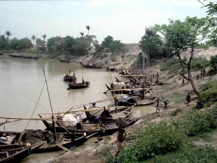 | ||
The Dhaleshwari River (Bengali: ধলেশ্বরী Dhôleshshori) is a distributary, 160 kilometres (99 mi) long, of the Jamuna River in central Bangladesh. It starts off the Jamuna near the northwestern tip of Tangail District. After that it divides into two branches: the north branch retains the name Dhaleshwari and merges with the other branch, the Kaliganga River at the southern part of Manikganj District. Finally the merged flow meets the Shitalakshya River near Narayanganj District. This combined flow goes southwards to merge into the Meghna River.
Map of Dhaleshwari River, Bangladesh
Average depth of river is 122 feet (37 m) and maximum depth is 265 feet (81 m).
The Dhaleshwari is a branch of the Jamuna but probably used to be part of the main course of the Padma. The course of the Padma has changed considerably during the period 1600 to 2000 AD. It is difficult to trace accurately the various channels through which it has flowed. The probability is that it flowed past Rampur Boalia, through Chalan Beel, the Dhaleshwari and Buriganga rivers, past Dhaka into the Meghna estuary. In the 18th century, the lower course of the river flowed further south. About the middle of the 19th century the main volume of the channel flowed through this southern channel which came to be known as Kirtinasa. Gradually the Padma adopted its present course.