
Country United States ZIP codes 50623 Elevation 271 m Local time Tuesday 2:40 PM | Time zone Central (CST) (UTC-6) GNIS feature ID 455900 Zip code 50623 | |
 | ||
Weather 10°C, Wind SW at 39 km/h, 36% Humidity | ||
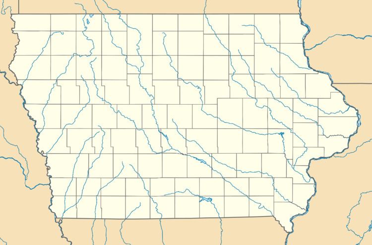
Dewar is an unincorporated community in eastern Black Hawk County, Iowa, United States. It lies along local roads northeast of the city of Waterloo, the county seat of Black Hawk County. Its elevation is 889 feet (271 m). Although Dewar is unincorporated, it has a post office with the ZIP code of 50623, which opened on 25 October 1887.
Map of Dewar, IA 50703, USA
Dewar (formerly known as Emert) was platted in 1888.
References
Dewar, Iowa Wikipedia(Text) CC BY-SA