
Country United States County Owen ZIP code 47433 Elevation 230 m | State Indiana Time zone Eastern (EST) (UTC-5) Area code(s) 812 | |
 | ||
Weather 11°C, Wind W at 27 km/h, 60% Humidity | ||
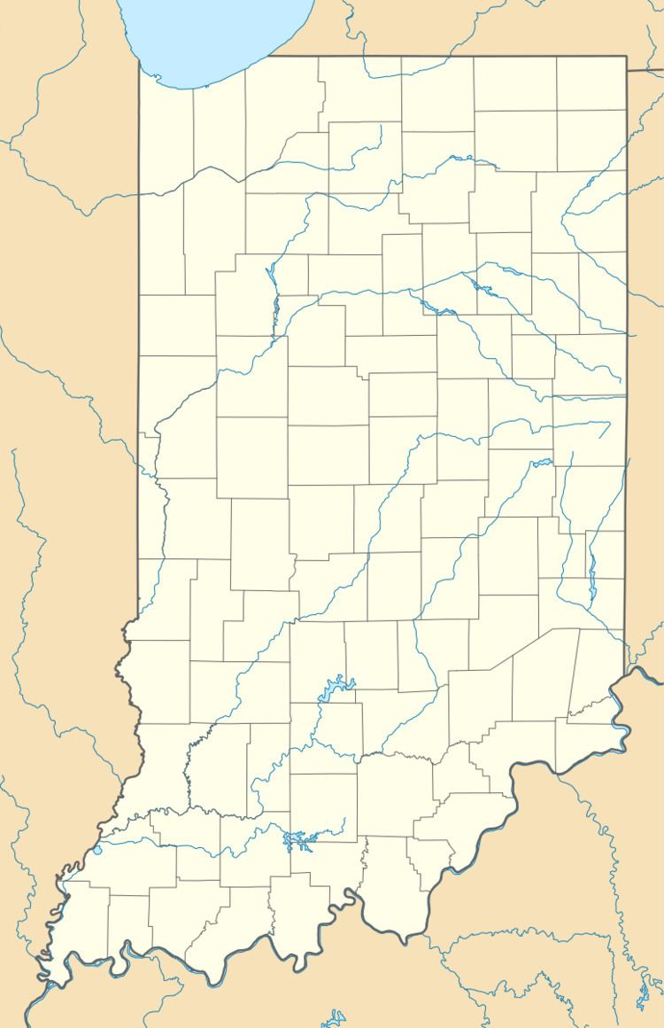
Devore is an unincorporated community in southwest portion of Taylor Township, Owen County, Indiana, United States. It lies just south of the intersection of County Road 1000 North and County Road 100 East (a.k.a. Tower Road and Devore Road), which is a community about ten miles north of the city of Spencer, the county seat of Owen County. Its elevation is 755 feet (230 m), and it is located at 39°25′47″N 86°45′10″W (39.4297683 -86.7527843). This community is also known as Mill Grove.
Contents
History
Devore was originally called Mill Grove, and under the latter name was laid out in 1835. A post office opened under the Devore name in 1893, and remained in operation until 1904.
Geography
School districts
Political districts
References
Devore, Indiana Wikipedia(Text) CC BY-SA