
Local time Tuesday 8:18 PM | Time zone IST (UTC+5:30) Vehicle registration WB Population 9,007 (2011) | |
 | ||
Weather 26°C, Wind S at 11 km/h, 80% Humidity | ||
Deuli is a census town in Narayangarh CD Block in Paschim Medinipur district in the state of West Bengal, India.
Contents
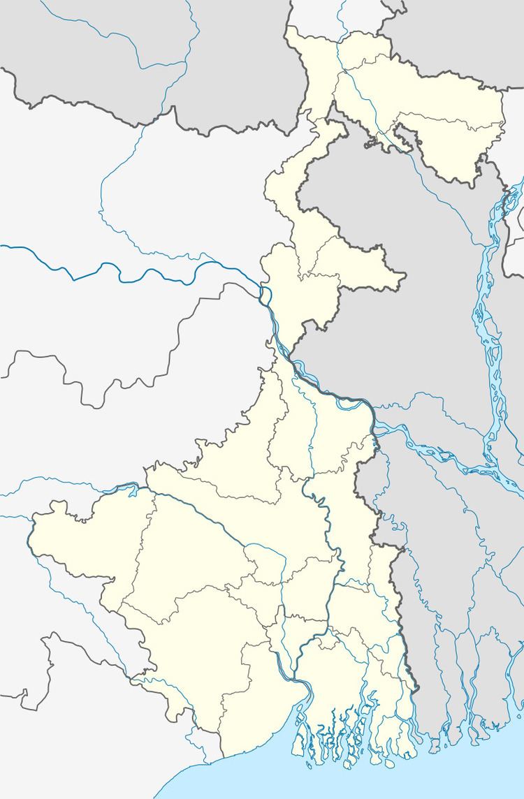
Map of Deuli, West Bengal 721642
Geography
Deuli is located at 22.21°N 87.80°E / 22.21; 87.80.
Demographics
As per 2011 Census of India Deuli had a total population of 9,007 of which 4,468 (50%) were males and 4,539 (50%) were females. Population below 6 years was 893. The total number of literates in Deuli was 7,138 (79.25% of the population over 6 years).
As of 2001 India census, Deuli had a population of 8165. Males constitute 52% of the population and females 48%. Deuli has an average literacy rate of 69%, higher than the national average of 59.5%: male literacy is 77% and, female literacy is 62%. In Deuli, 11% of the population is under 6 years of age.
References
Deuli, India Wikipedia(Text) CC BY-SA