
Postal codes 18334 Area 44.46 km² Local time Tuesday 3:32 PM Dialling code 038228 | Time zone CET/CEST (UTC+1/+2) Dialling codes 038228 Population 1,049 (31 Dec 2008) Postal code 18334 | |
 | ||
Weather 2°C, Wind NW at 11 km/h, 72% Humidity | ||
Dettmannsdorf is a municipality in the Vorpommern-Rügen district, in Mecklenburg-Vorpommern, Germany. The municipality is located south-west of Ribnitz-Damgarten in the Recknitz valley. Until January 1, 1999, it belonged to Amt Trebeltal and now belongs to Amt Recknitz-Trebeltal.
Contents
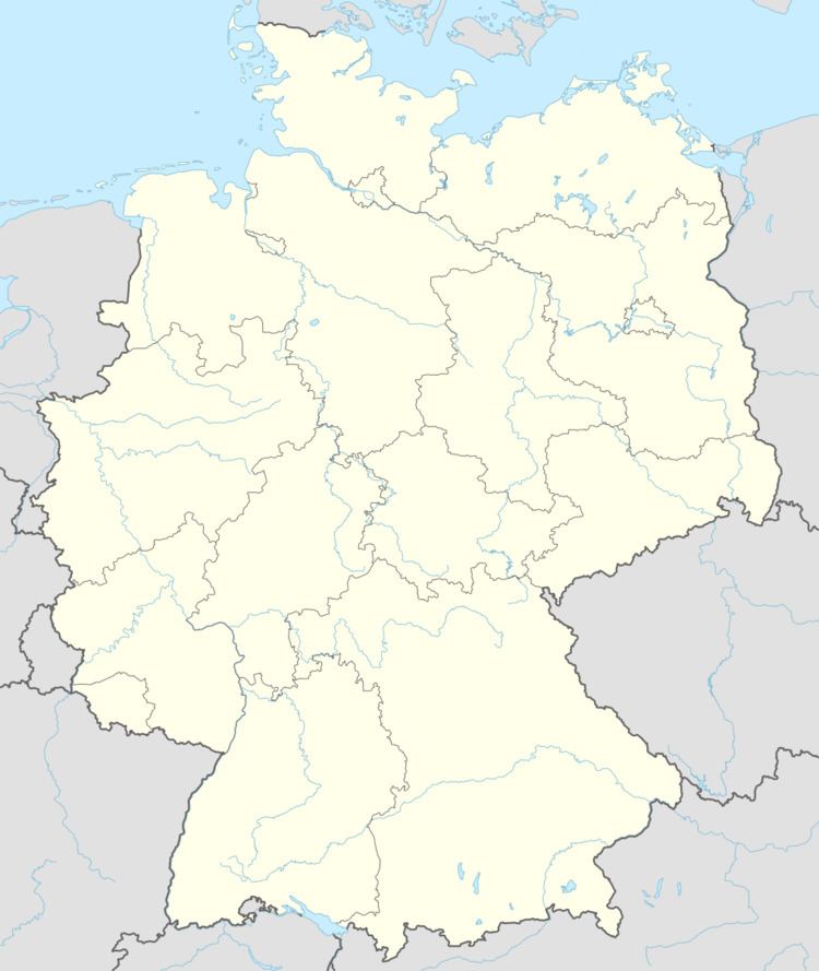
Map of Dettmannsdorf, Germany
Geography and Transportation
Dettmannsdorf is located about 25 kilometers east of the Hanseatic city of Rostock and about 9 kilometers west of Bad Sülze. The closest highway is the Bundesautobahn 20 (A20), which is located south of the municipality and can be reached by the on-ramps Tribsees and Sanitz.
The municipality consists of the localities:
History
Kölzow was first mentioned in a document in 1233. The church of Kölzow was built in 1205 and is possibly one of the oldest churches in Northern Germany. Since January 1, 2001, Dudendorf belongs to the municipality Dettmannsdorf.