
Local time Tuesday 8:31 AM | ||
 | ||
Weather 24°C, Wind SE at 5 km/h, 85% Humidity | ||
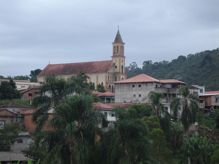
Desterro do melo mg belezas naturais
Desterro do Melo is a Brazilian municipality located in the south of the state of Minas Gerais. Its population in 2007 was 3,198 people in a total area of 142 km². The altitude of the municipal seat is 1,085 meters. The city belongs to the mesoregion of Campo das Vertentes and to the microregion of Barbacena.
Contents
- Desterro do melo mg belezas naturais
- Map of Desterro do Melo State of Minas Gerais Brazil
- Desterro do melo fazenda manuel 02
- References
Map of Desterro do Melo, State of Minas Gerais, Brazil
Desterro do Melo lies to the east of Barbacena and is connected to this regional center b MG-135. The distance is 35 km. The region is characterized by low mountains, many of which still retain natural tropical forest. Like most of the municipalities in this region there is cultivation of coffee, bananas, rice, sugarcane, beans, and corn. Farms are small and cattle raising is mainly for milk and cheese production. In 2007 there were 293 automobiles in the municipality. There was one health clinic, 5 primary schools, and one middle school (2005).
Municipal Human Development Index [1]