
- left Seim, Oster - location near Kiev, Ukraine Basin area 88,900 km² Source Russia Countries Ukraine, Russia | - right Sudost Length 1,130 km Discharge 360 m³/s Mouth Dnieper | |
 | ||
- location Smolensk Heights, Russia - average 360 m/s (12,713 cu ft/s) | ||
Desna (Russian: Десна; Ukrainian: Десна) is a river in Russia and Ukraine, left tributary of the Dnieper river. The word means "right hand" in the Old East Slavic language. Its length is 1,130 km (702 mi), and its drainage basin covers 88,900 km2 (34,324 sq mi).
Contents
Map of Desna River
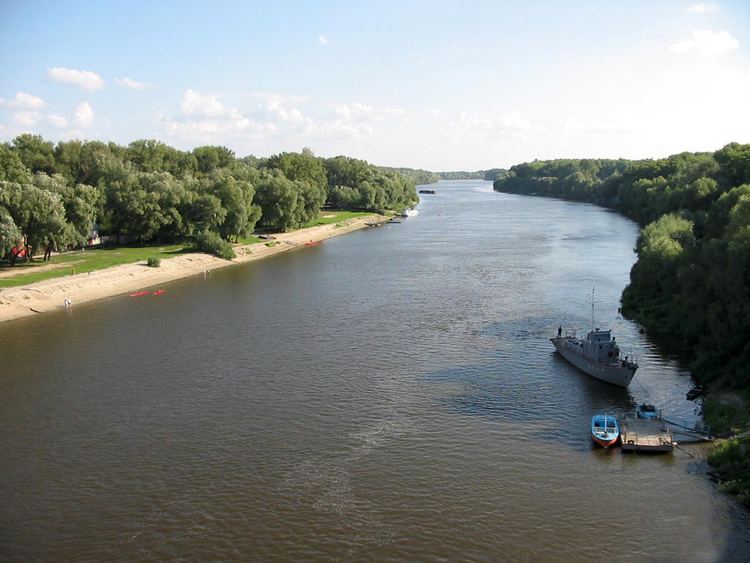
In Ukraine, the river's width ranges from 60 to 250 metres, with its average depth being 3 m (10 ft). The mean annual discharge at its mouth is 360 m³/s (12,713 ft³/s). The river freezes over from early December to early April, and is navigable from Novhorod-Siverskyi to its mouth, which totals about 535 km (332 mi).
Course
The Desna River originates in the Smolensk Heights of Smolensk Oblast, Russia. The river's source lies eastsoutheast from the city of Smolensk and not far from Yelnya in a forest near the village of Naleti. The Desna then flows south through a low and swampy valley toward the city of Bryansk, where the river's right bank rises.
After its confluence with the Seim River near the Russian-Ukrainian border, the river then widens, splitting into numerous smaller branches. Its right bank declines again near the city of Chernihiv, and again near one of its tributaries, the Oster, where the Desna continues its course through a low, muddy plain until it finally reaches its mouth near Kiev at the Dnieper River.
Tributaries
The Desna has 18 right and 13 left tributaries. The most significant are:
Cities and towns on the Desna
The Svensky Monastery is located at the confluence of the Desna and the Svin River.