 | ||
Desert Blume is a hamlet in southern Alberta, Canada within Cypress County, adjacent to the southern boundary of Medicine Hat.
Contents
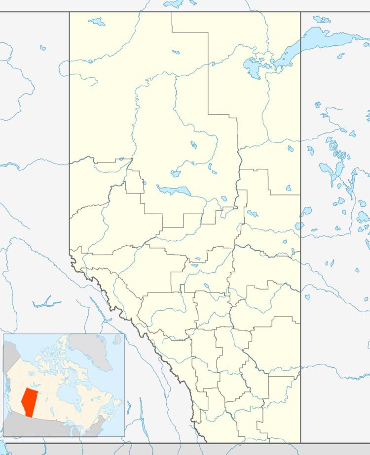
Map of Desert Blume, AB, Canada
The hamlet is located on southwest corner of South Boundary Road (Township Road 122) and Range Road 61A, 0.8 kilometres (0.50 mi) southeast of Highway 3.
Demographics
As a designated place in the 2016 Census of Population conducted by Statistics Canada, Desert Blume recorded a population of 473 living in 158 of its 160 total private dwellings, a change of 7001469000000000000♠46.9% from its 2011 population of 322. With a land area of 0.38 km2 (0.15 sq mi), it had a population density of 1,244.7/km2 (3,223.9/sq mi) in 2016.
Cypress County indicates that the population of the Hamlet of Desert Blume was 306 in the 2011 Census.
References
Desert Blume Wikipedia(Text) CC BY-SA
