
Established 1550 Time zone EET (UTC+2) Local time Tuesday 8:05 AM | Elevation/(average value of) 259 m (850 ft) Area 1,840 km² | |
 | ||
Weather 2°C, Wind S at 3 km/h, 95% Humidity | ||
Derzhiv (Ukrainian: Де́ржів) is a village (selo) in Mykolaiv Raion, Lviv Oblast, of western Ukraine. The village covers an area of 1,840 km2 and is currently living in the village of about 1204 persons.
Contents
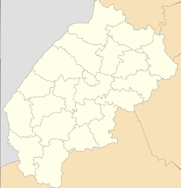
Map of Derzhiv, Lvivska, Ukraine
Local government is administered by Derzhivska village council.
Geography
The village Derzhiv is located on the right bank of the Dniester River at a distance of 4 kilometres (2.5 mi) from the railway station "Bilche - Volytsya". It is situated in the distance 58 kilometres (36 mi) from the regional center of Lviv, 22 kilometres (14 mi) from the district center Mykolaiv, and 21 kilometres (13 mi) from the Stryi.
History
The first written mention of Derzhiv which dates from the year 1550. The finds evidenced that the place of the village there were settlements at the end of the Bronze Age (XIII-XI centuries. BC. E.). Been found by archaeological treasures things Bronze Age.