
Established 1859 Local time Monday 10:32 PM Population 998 (2011) | Time zone AST (UTC-4) | |
 | ||
Weather -9°C, Wind SE at 0 km/h, 85% Humidity | ||
Derby is a Canadian parish in Northumberland County, New Brunswick.
Contents
- Map of Derby NB Canada
- History
- Delineation
- Communities
- Bodies of water and islands
- Access routes
- References
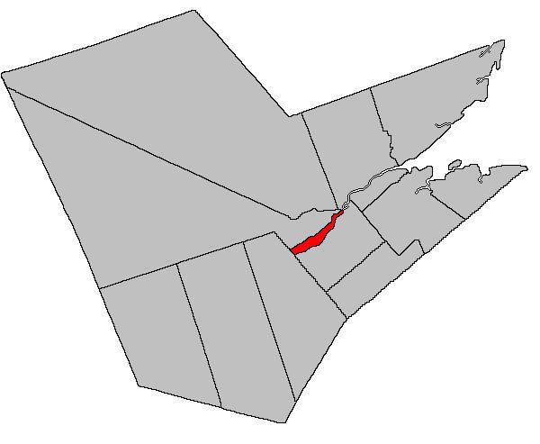
Map of Derby, NB, Canada
Its population in the 2011 Census was 998.
History
Derby Parish was erected from Nelson Parish in 1859: named for Edward George Geoffrey Smith Stanley (1799-1869), the 14th Earl of Derby and Prime Minister of the United Kingdom.
Delineation
Derby Parish is defined in the Territorial Division Act as being bounded:
West by Blackville Parish, north by Southesk Parish and the Northwest Miramichi River east by the lower extremity of Beaubears Island and to include the same, and south by the southwest branch of the Miramichi River.Communities
Parish population total does not include incorporated municipalities (in bold) and communities within their respective boundaries (in italics).
Bodies of water and islands
This is a list of rivers, lakes, streams, creeks, marshes and Islands that are at least partially in this parish.
Access routes
Highways and numbered routes that run through the parish, including external routes that start or finish at the parish limits:
References
Derby Parish, New Brunswick Wikipedia(Text) CC BY-SA