PIN 177101 Elevation 503 m Local time Tuesday 7:28 AM | Time zone IST (UTC+5:30) Telephone code 01970 Area code 01970 Population 4,336 (2001) | |
 | ||
Weather 14°C, Wind NE at 6 km/h, 52% Humidity | ||
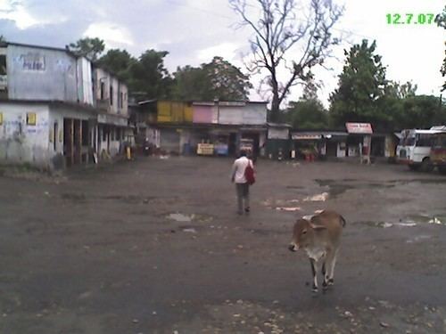
Dehra Gopipur is a town a Municipal Council and a Tehsil in Kangra district in the state of Himachal Pradesh, India.
Contents
Map of Dehra Gopipur, Himachal Pradesh 177101
Geography
Dehra Gopipur is located at 31.90°N 76.22°E / 31.90; 76.22. It has an average elevation of 503 metres (1,650 feet). River Beas also flows past Dehra. Pong reservoir (Maharana Pratap reservoir) is also a nearby major structure.
Demographics
As of 2001 India census, Dehra Gopipur had a population of 4336. Males constitute 52% of the population and females 48%. Dehra Gopipur has an average literacy rate of 79%, higher than the national average of 59.5%: male literacy is 82% and, female literacy is 76%. In Dehra Gopipur, 11% of the population is under 6 years of age.
Places of interest
Pragpur, a small beautiful hamlet in the Dehra Gopipur, has been listed as the only World Heritage village in India. It is famous for its pristine history as well as for an executive clan of 'Sood' (some write it as 'Sud') community. Three other wonderful hamlets, named Garli, Nagrota Bagwan and Chamba Pattan lie in close vicinity to Paragpur.
Other notable towns in the close by areas are Jawalamukhi (A very famous temple and one of the most respected and visited religious shrines of Hindus); Hamirpur (the commercial hub of Himachal Pradesh); Kangra (Famous for its forts, temples and rich cultural heritage); and Nadaun (a place still remembered for having a Sikh's Gurdwara which was built to commemorate Guru Gobind Singh's victory in the Battle of Nadaun.
