
Location Antarctica | Population Uninhabited | |
 | ||
Connect english vol 2 depot island free wi fi story
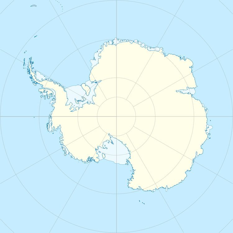
Depot Island is a small island in the Øygarden Group, lying 2 kilometres (1 nmi) north of the western end of Shaula Island. It was mapped by Norwegian cartographers from aerial photographs taken by the Lars Christensen Expedition, 1936–37, and so named by the Antarctic Names Committee of Australia because a depot was established there by the Australian National Antarctic Research Expeditions during 1956.
Contents
- Connect english vol 2 depot island free wi fi story
- Depot island okinawa chatan american village
- References
Depot island okinawa chatan american village
References
Depot Island Wikipedia(Text) CC BY-SA