
Sovereign state United Kingdom Postcode district CT2 Local time Monday 6:21 PM District Swale | ||
 | ||
Weather 7°C, Wind W at 14 km/h, 65% Humidity | ||
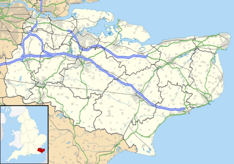
Denstroude is a dispersed hamlet located to the west of the A290 road north of Canterbury in Kent, England. It is a collection of houses and farms, one of which takes its name from the hamlet; the other being Parsonage Farm, although there is no church nearby.
Map of Denstroude, Canterbury, UK
It stretches between the parishes of Blean and Dunkirk (where the 2011 Census population is included.), in the districts of Canterbury and Swale respectively.
Edward Hasted in 1799, only mentions 'Denstroud common'.
References
Denstroude Wikipedia(Text) CC BY-SA