
Country United States ZIP codes 40316 Elevation 337 m | Time zone Eastern (EST) (UTC-5) GNIS feature ID 511788 Local time Monday 12:53 PM | |
 | ||
Weather 15°C, Wind S at 14 km/h, 63% Humidity | ||
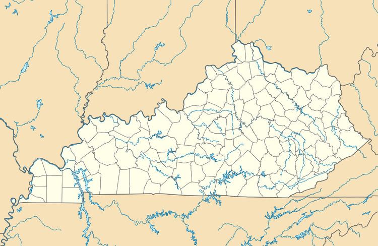
Denniston is an unincorporated community in Menifee County, Kentucky, United States. It lies along U.S. Route 460 and Kentucky Route 746, southeast of the city of Frenchburg, the county seat of Menifee County. Its elevation is 1,106 feet (337 m). Although it is unincorporated, it has a post office, with the ZIP code of 40316.
Map of Denniston, KY 40316, USA
Denniston is part of the Mount Sterling Micropolitan Statistical Area.
The community was named for its first postmaster, Joseph C. Denniston.
References
Denniston, Kentucky Wikipedia(Text) CC BY-SA