
Country United States FIPS code 36-20214 Elevation 363 m Population 2,860 (2010) Area code 315 | State New York Time zone Eastern (EST) (UTC-5) GNIS feature ID 978896 Zip code 13631 Local time Monday 11:55 AM | |
 | ||
Weather 1°C, Wind SE at 23 km/h, 34% Humidity Area 132.1 km² (131.1 km² Land / 104 ha Water) | ||
Denmark is a town in Lewis County, New York, United States named after the Kingdom of Denmark, situated in Northern Europe. The population was 2,860 at the 2010 census.
Contents
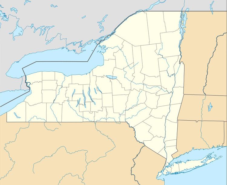
- Map of Denmark NY USA
- History
- Notable people
- Geography
- Demographics
- Communities and locations in Denmark
- References
Map of Denmark, NY, USA
The Town of Denmark is on the northwest border of the county and lies east of Watertown.
History
The town of Denmark was first settled around 1800.
The town was formed in 1807 from the Town of Harrisburg.
Notable people
Geography
According to the United States Census Bureau, the town has a total area of 51.0 square miles (132 km2), of which 50.6 square miles (131 km2) is land and 0.4 square miles (1.0 km2) (0.84%) is water.
The northwest town line is the border of Jefferson County, and the Black River forms the east town line. The Deer River, running through the north part of the town is a tributary of the Black River.
Both New York State Route 12 and New York State Route 26 run in a northwest to southeast direction through the town, paralleling the Black River. New York State Route 410 passes across the southeast corner of the town.
Demographics
According to the census of the year 2000, there are 2,747 people, 977 households, and 753 families in the town of Denmark. The population density is 54.3 people per square mile (21.0/km²). There are 1,149 housing units at an average density of 22.7 per square mile (8.8/km²). The racial makeup of the town is 96.76% White, 0.51% African American, 0.25% Native American, 0.18% Asian, 0.04% Pacific Islander, 0.84% from other races, and 1.42% of two or more races. Hispanic or Latino of any race are 1.82% of the population.
There are 977 households out of which 37.7% have children under the age of 18 living with them, 65.1% are married couples living together, 7.0% have a female householder with no husband present, and 22.9% are non-families. 17.7% of all households are made up of singles and 7.8% have someone living alone who is 65 years of age or older. The average household size is 2.79 and the average family size is 3.15.
In the town, the population is spread out with 28.7% under the age of 18, 9.6% from 18 to 24, 30.5% from 25 to 44, 21.4% from 45 to 64, and 9.8% who are 65 years of age or older. The median age is 33 years. For every 100 females there are 103.5 males. For every 100 females age 18 and over, there are 98.5 males.
The median income for a household in the town is $38,696, and the median income for a family is $45,046. Males have a median income of $33,147 versus $22,375 for females. The per capita income for the town is $14,960. About 7.9% of families and 12.4% of the population are below the poverty line, including 17.3% of those under age 18 and 10.3% of those aged 65 or more.