
Admin. region Oberbayern Time zone CET/CEST (UTC+1/+2) Area 56.76 km² Population 2,482 (31 Dec 2008) | Postal codes 86920 Local time Monday 5:01 PM Postal code 86920 | |
 | ||
Weather 6°C, Wind W at 13 km/h, 62% Humidity | ||
Denklingen is a municipality in the district of Landsberg (also called Landsberg am Lech) in Bavaria in Germany.
Contents
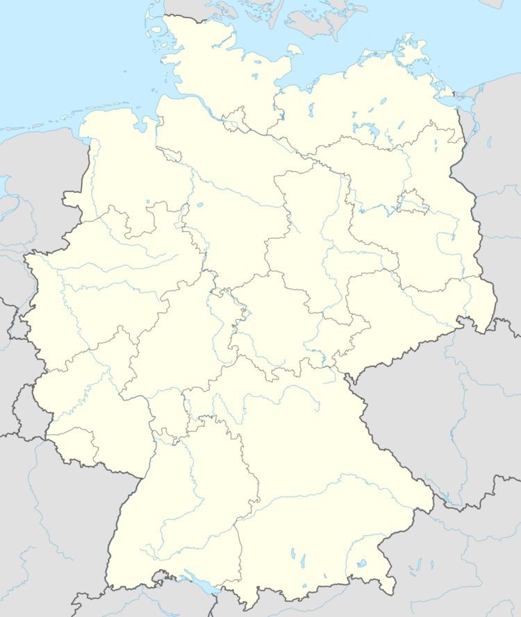
Map of Denklingen, Germany
Geography
Denklingen is the most southwesterly municipality in the district of Landsberg. It is located on flats to the west of the Lech river. It is at the edge of Denklinger Rotwalds (red forest of Denklingen) and Sachsenrieder forest.
References
Denklingen Wikipedia(Text) CC BY-SA