
Country India District Leh Time zone IST (UTC+5:30) Population 78 (2011) | State Jammu and Kashmir Tehsil Leh Census code 906 | |
 | ||
Weather -11°C, Wind SW at 11 km/h, 64% Humidity | ||
Demjok, also spelled Demchok, is a village and military encampment in the Leh district of Jammu and Kashmir, India. It is administered as part of the Leh tehsil, in the Indian-controlled part of the disputed Demchok sector south of Aksai Chin. The Line of Actual Control (LAC) passes along the southeast side of the village, following a wadi just upstream from the nearby Indus River. Across the wadi, less than a kilometer away, is a Chinese-administered village, called Dêmqog, which was once part of Demchok.
Contents
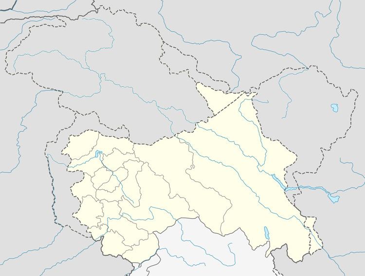
Map of Demchok
This village was on an old route linking Ladakh and Tibet, currently closed. The village lies 36.5 km east of Ukdungle. China claims it as part of the Tibet Autonomous Region. Though the Kailash Mansarovar is 300 km away, the route there is mostly through plains and there is demand to improve and open a road linking China and India through Demchok.
Demographics
According to the 2011 census of India, Demjok has 31 households. The effective literacy rate (i.e. the literacy rate of population excluding children aged 6 and below) is 42.47%.