
Country Macedonia Elevation 202 m (663 ft) Postal Code 1442 | Time zone CET (UTC+1) | |
 | ||
Region | ||
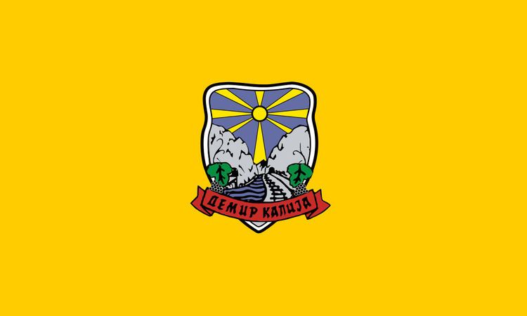
Demir Kapija (Macedonian: Демир Капија [ˌdɛmir ˈkapija]) is a municipality in southern part of Republic of Macedonia. Demir Kapija, which means "iron door" or "iron gate" in Turkish, is also the name of the town where the municipal seat is found. Demir Kapija Municipality is part of the Vardar Statistical Region.
Contents
Map of Municipality of Demir Kapija, Macedonia (FYROM)
Geography
The municipality borders Negotino Municipality to the northwest, Konče Municipality to the northeast, Valandovo Municipality to the east, Gevgelija Municipality to the southeast, and Kavadarci Municipality to the southwest.
Demographics
According to the last national census from 2002 this municipality has 4,545 inhabitants.
Ethnic groups in the municipality include:
Populated settlements include:
References
Demir Kapija Municipality Wikipedia(Text) CC BY-SA