
Length 18 km Province Leinster Country Republic of Ireland | ||
 | ||
Etymology Old Irish ailbine, supposedly from ollbine, "great crime" Tributaries Left:Saddlestown Stream, Silver StreamRight:Garristown Stream Similar Fourknocks Passage Tomb, Ardgillan Castle, River Bandon, River Swilly, River Moy | ||
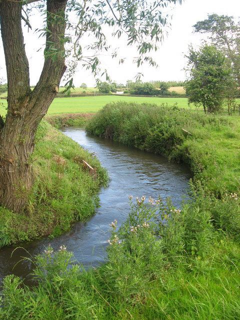
The River Delvin (Irish: An Ailbhine) is a river of north County Dublin, about 18 kilometres (11 mi) long and forming much of the Dublin-Meath boundary. It is under the responsibility of Fingal County Council.
Contents
Map of Delvin River, Ireland
CourseEdit
The Delvin rises north west of the village of Garristown, from which Garristown Stream joins it, and flows in a north easterly direction, forming much of the Dublin-Meath county boundary. It passes just north of the village of Naul, where there are cliffs and a small hydro-electric plant, and east of Stamullen, before crossing Gormanston.
From there it turns in a north easterly direction and flows for about 16 kilometres (10 mi) before entering the Irish Sea south of Ben Head and some distance north of the town of Balbriggan, County Dublin. The Delvin has a number of tributaries, including the Silver Stream and the Stablestown Stream. It once powered at least one mill, and today there is at least one small hydroelectric plant on its course.
FishingEdit
Trout fishing on these rivers takes place from February to September. Trout fishing is usually catch a release; spinner reel fishing on one shore is allowed. Most trout are in the 2 pound range.