
 | ||
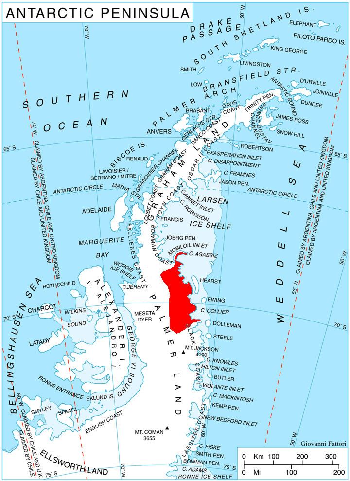
Delisle Inlet (Bulgarian: залив Дьолил, ‘Zaliv Delisle’ \'za-liv dyo-'lil) is the 8.4 km wide ice-filled inlet indenting for 12.7 km the southeast side of Kenyon Peninsula, Wilkins Coast on the Antarctic Peninsula. It is entered southwest of Cape Keeler and northeast of Cape Mayo.
Contents
The feature is named after the French cartographer Guillaume Delisle (also spelled Guillaume de L'Isle; 1675–1726) whose 1700 map of South America featured the Antarctic island of Roché (South Georgia).
Location
Delisle Inlet is centred at 68°51′00″S 63°23′00″W. British mapping in 1963 and 1976.
Maps
References
Delisle Inlet Wikipedia(Text) CC BY-SA