
Elevation 70 m (230 ft) Licence plate 35 Area code 0232 | Time zone EET (UTC+2) Postal code 35980 | |
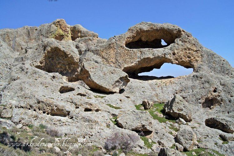 | ||
Deliktaş is a village in Dikili district of İzmir Province, Turkey. It is situated in the forests between Dikili and Çandarlı. The distance to Dikili is 12 kilometres (7.5 mi) and to İzmir is 97 kilometres (60 mi). The population of Deliklitaş is 1,599 as of 2011. The name of the village ("bored stone") refers to a 150 meter high boulder in the village. The village was founded in the 14th century during the Karesi Beylik era. The main economic activity is agriculture. Gumbo and olive are among the crops of the village. Some village residents work in transportation between İzmir and Dikili.
Map of Delikta%C5%9F, Delikta%C5%9F Mahallesi, 35985 Dikili%2F%C4%B0zmir, Turkey
References
Deliktaş, Dikili Wikipedia(Text) CC BY-SA