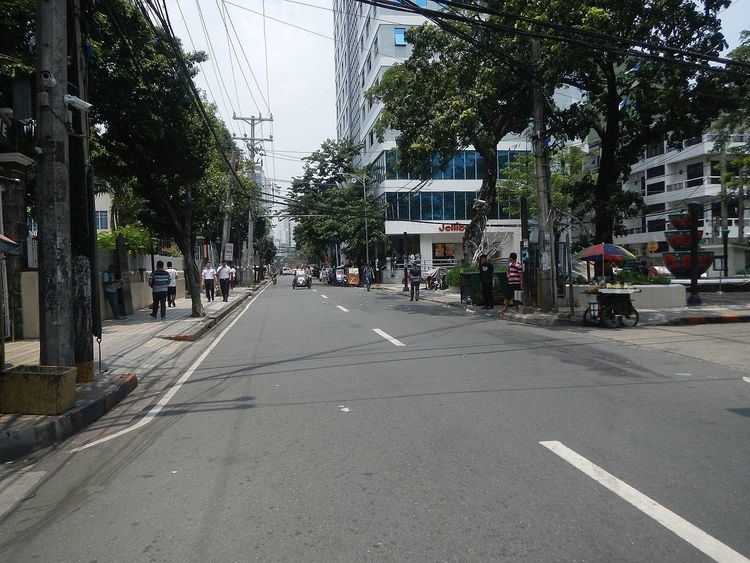
Length 2 km | ||
 | ||
Majorjunctions United Nations AvenuePadre Faura StreetPedro Gil StreetRemedios Street South end | ||
Marcelo H. del Pilar Street, also known as M.H. del Pilar Street or simply Del Pilar Street, is a north-south road running for approximately 2 kilometres (1.2 mi) connecting Ermita and Malate districts in Manila, Philippines. It is a two-lane street which carries traffic one-way southbound from Kalaw Avenue in Rizal Park to Quirino Avenue just across from the Ospital ng Maynila. It was formerly called Calle Real.
Contents
Map of M. H. Del Pilar St, Manila, Metro Manila, Philippines
Calle Real
The street marks the original shoreline of Manila Bay as it existed during the Spanish colonial period. It was then known as Calle Real (Spanish for "royal street") which served as the national road that linked Manila with the southern provinces. The old coastal highway ran from Ermita to Muntinlupa passing through Pasay (where it is now known as Harrison Avenue), Parañaque (now known as Elpidio Quirino Avenue), and Las Piñas (now known as Diego Cera Avenue and Alabang–Zapote Road).
The current shoreline is about 180 meters west on Roxas Boulevard (formerly Dewey Boulevard) which was reclaimed in the early 1900s during the American colonial period. As with most other streets in Manila, it was renamed in 1921 after a Filipino writer and patriot, Marcelo Hilario del Pilar.
Landmarks
Notable sites that are presently located on Del Pilar Street include the Ermita Church, LandBank Plaza, the Malate Church, Gaiety Theater as well as several hotel buildings such as the New World Manila Bay Hotel (formerly Hyatt Hotel & Casino) and Diamond Hotel.
