
Grid position L 128/150 Governorate Nabatieh Governorate Elevation 525 m (1,722 ft) Area code +961 | Country Lebanon District Marjeyoun District Time zone EET (UTC+2) | |
 | ||
Deir Siriane (Arabic: دير سريان) is a village the Marjeyoun District in Southern Lebanon.
Contents
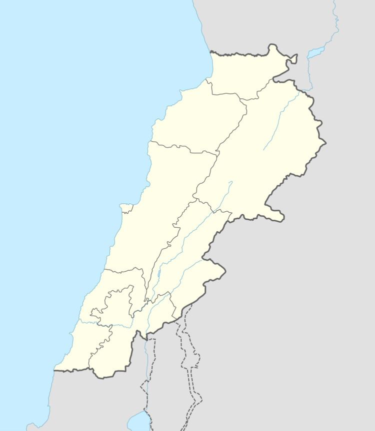
Map of Deir Seryan, Lebanon
Name
According to E. H. Palmer, the name Deir es Suriân means "the convent of the Syrian".
History
In 1596, it was named as a village, Dayr Siryan, in the Ottoman nahiya (subdistrict) of Tibnin under the liwa' (district) of Safad, with a population of 10 households and 1 bachelor, all Muslim. The villagers paid a fixed tax-rate of 25 % on agricultural products, such as wheat, barley, olive trees, goats, beehives, in addition to "occasional revenues" and a press for olive oil or grape syrup; a total of 2,952 akçe.
In the early 1860´s Ernest Renan found here remains of old buildings and a cistern. In 1875 Victor Guérin found that the village had Metawileh inhabitants, and noted: "Cisterns and tanks partly cut in the rock and partly built. Hewn stones show that here was an ancient village or edifice."
In 1881, the Palestine Exploration Fund's Survey of Western Palestine (SWP) described it as "a village, built of stone, containing about 200 Metawileh, situated on the plain and surrounded by small gardens and arable land. Water from wells and a spring."