
Grid position 110/152 L District Tyre District Dialing code +9617 | Country Lebanon Time zone EET (UTC+2) Local time Sunday 11:00 PM | |
 | ||
Governorate South Lebanon Governorate Weather 13°C, Wind E at 10 km/h, 70% Humidity | ||
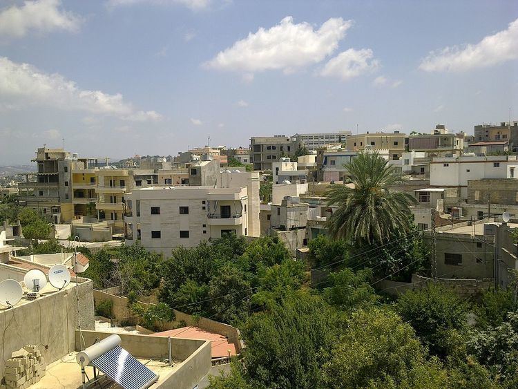
Deir Qanoun En Nahr (Arabic: دير قانون النهر) is a municipality in Southern Lebanon, located in Tyre District, Governorate of South Lebanon.
Contents
Map of Deir Qanoun El Nahr, Lebanon
Name
According to E. H. Palmer in 1881, Deir Kânûn meant: the convent of the rule (canon).
History
In the early 1860s, Ernest Renan noted here a decorated Sarcophagus.
In 1875 Victor Guérin found the village to be inhabited by 400 Metualis. He further noted: "Here I saw an ancient rock-cut basin, many cut-stones built up in private houses or forming the enclosure of gardens and cisterns, and, on the surface of a block lying on the ground, figures carved, to the number of five, each in a different frame. Unfortunately they are much mutilated by time and rough usage. The best preserved has the head surmounted by the high Egyptian coiffure known under the name of pschent, and holds in one hand a sort of curved stick."
In 1881, the Palestine Exploration Fund's Survey of Western Palestine (SWP) described it: "A village, built of stone, situated on the top of a hill, surrounded by gardens, fig-trees, olives, and arable land, containing about 250 Metawileh; water supply from springs, birket, and cisterns."