Time zone EET (UTC+2) | Highest elevation 400 m (1,300 ft) Area code +9617 | |
 | ||
Governorate South Lebanon Governorate | ||
Deir Aames (Arabic: دير عامس ) is a municipality in Southern Lebanon, located in Tyre District, Governorate of South Lebanon.
Contents
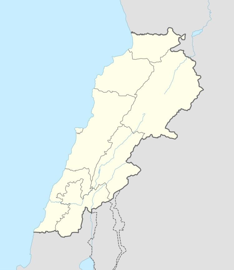
Map of Deir Aames, Lebanon
Name
According to E. H. Palmer, the name means "the convent of Amis."
History
In the early 1860s Ernest Renan noted: "'At Deir Amis there is a large basin of great stones, and a portion of wall which seems of Crusading times. At the church there is a drawing like the stone of Aitit. As the stone of Deir Amis is certainly Christian, so must also be that of Aitit."
In 1875 Victor Guérin found the village to be inhabited by Metuali families. He further noted: "numerous ruined houses, a fragment of a column in the interior of a small mosque, cut stones scattered over the ground, cisterns cut in the rock, a tank partly built and partly rock-cut. On an ancient lintel is carved a double cross in a circle."
In 1881, the Palestine Exploration Fund's Survey of Western Palestine (SWP) described it: "A village, built of stone, situated on a ridge, with olives and arable land around, containing about 100 Metawileh; water from cisterns."
