
Municipality Degollado Population 21,132 (2010) Area code 345 | Time zone CST (UTC-6) Local time Sunday 11:15 AM Postal code 47980 | |
 | ||
Founded 1848 (Toribio de Bolaños) Website www.degollado.gob.mx[1] Weather 20°C, Wind E at 6 km/h, 40% Humidity | ||
Degollado jalisco m xico vista a rea 2015
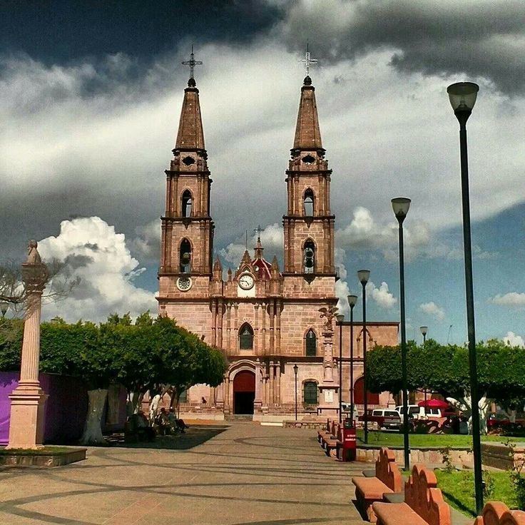
Degollado ([deɣoˈʝaðo]) is a small town and Municipality in the eastern highlands of the Mexican State of Jalisco. The municipality encompasses Huascato, Los Ranchitos, La Vibora, Buenos Aires, Las Limas, Altamira, La Chancla and El Corral de Piedra.
Contents
Map of Degollado, Jalisco, Mexico
In Spanish, the word degollado means "to slit one's throat", "behead", or "decapitate". It is also a last name, and in this case the town was named after Mexican general Santos Degollado. A statue of him is in el Jardin de Niños which was made from coins from the townspeople during the early 1960s.
On December 24, 1917, the town was under siege by the bandit leader J. Inés García Chávez and his men. It was also one of the places in highlands of Jalisco where the Cristero War took place during the 1920s.
Degollado is known for its cantera (Freestone Masonry). One of the best selling products are stone images of the virgin of Guadalupe and sculptures, such as fountains, animals, and columns. It is known for alternative treatments (in the Rinconada, Degollado) such as acupuncture, massage and herbal medicine.
The holy patroness of Degollado is Our Lady of Guadalupe and is celebrated on December 12. Has an average of about 21,000 citizens .