
Quadrant SE Established 1978 Area 110 ha Population 5,765 (2006) Local time Sunday 7:06 AM | Ward 14 Annexed 1961 Elevation 1,020 m Mayor Naheed Nenshi | |
 | ||
Weather -13°C, Wind NE at 6 km/h, 90% Humidity | ||
Christmas lights 2016 deer run calgary
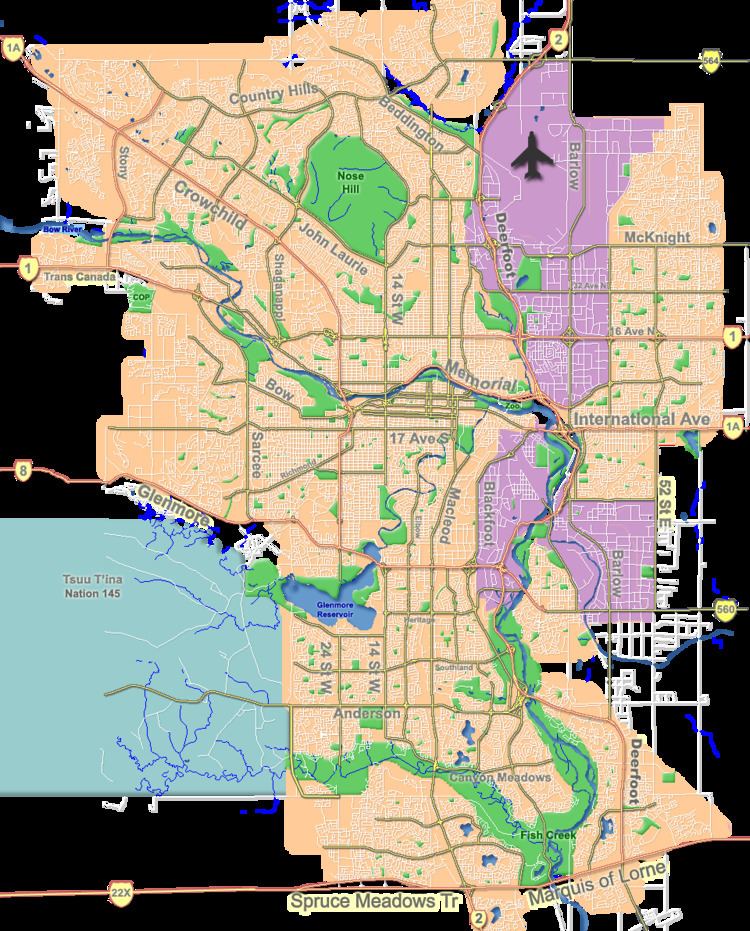
Deer Run is a residential neighbourhood in the south-east quadrant of Calgary, Alberta. It is located in a bend of the Bow River, and is surrounded to the east and south by the Fish Creek Provincial Park. It is bounded to the north by North Deersaxon Circle and the community of Deer Ridge and to the west by Bow Bottom Trail.
Contents
- Christmas lights 2016 deer run calgary
- Map of Deer Run Calgary AB Canada
- Demographics
- Education
- References
Map of Deer Run, Calgary, AB, Canada
The land was annexed to the City of Calgary in 1961 and Deer Run was established in 1978. It is represented in the Calgary City Council by the Ward 14 councillor.
Demographics
In the City of Calgary's 2012 municipal census, Deer Run had a population of 7003534100000000000♠5,341 living in 7003211300000000000♠2,113 dwellings, a -0.9% increase from its 2011 population of 7003539000000000000♠5,390. With a land area of 1.9 km2 (0.73 sq mi), it had a population density of 2,810/km2 (7,280/sq mi) in 2012.
Residents in this community had a median household income of $76,038 in 2000, and there were 6.1% low income residents living in the neighbourhood. As of 2000, 16.9% of the residents were immigrants. A proportion of 6.3% of the buildings were condominiums or apartments, and 14% of the housing was used for renting.
Education
The community is served by Deer Run Elementary public school, and designated out of district junior high school and high school is provided by Wilma Hansen Junior High and Lord Beaverbrook High School.