
Ward 14 Elevation 1,020 m | Quadrant SE Established 1978 Population 4,344 (2006) | |
 | ||
Weather -12°C, Wind NE at 6 km/h, 87% Humidity Restaurants Filos Restaurant & Lounge, Around The Bend, Indigo Classic, Nem Delight, Big T's BBQ & Smokeho | ||
Deer Ridge is a residential neighbourhood in the south-east quadrant of Calgary, Alberta. It is located in the Bow River valley, and is bounded to the north by Canyon Meadows Drive, to the east by Deercliff Road and the Bow River, to the south by Deerfield Circle and the community of Deer Run and to the west by Bow Bottom Trail. Fish Creek Provincial Park is located immediately east.
Contents
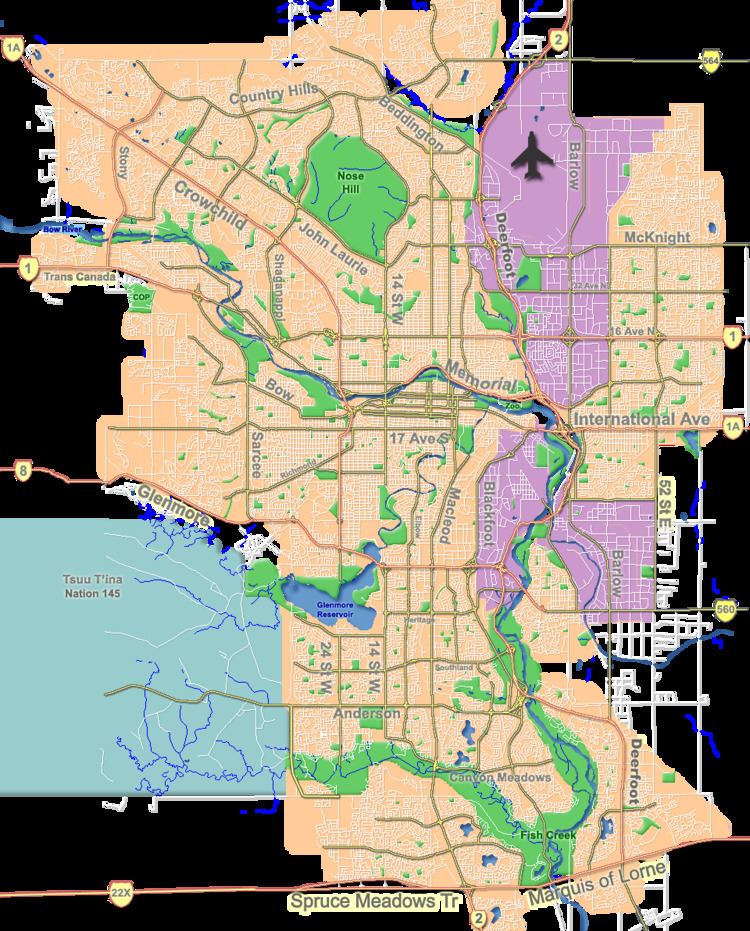
Map of Deer Ridge, Calgary, AB, Canada
The land was annexed into the City of Calgary in 1961, and Deer Ridge was established in 1978. It is represented in the Calgary City Council by the Ward 14 councillor.
Demographics
In the City of Calgary's 2012 municipal census, Deer Ridge had a population of 7003408400000000000♠4,084 living in 7003150100000000000♠1,501 dwellings, a 2.3% increase from its 2011 population of 7003399100000000000♠3,991. With a land area of 1.4 km2 (0.54 sq mi), it had a population density of 2,920/km2 (7,560/sq mi) in 2012.
Residents in this community had a median household income of $59,149 in 2000, and there were 17.1% low income residents living in the neighbourhood. As of 2000, 15.2% of the residents were immigrants. A proportion of 10.5% of the buildings were condominiums or apartments, and 36% of the housing was used for renting.
Education
The community is served by Don Bosco Elementary & Junior High school.