
Sovereign state United Kingdom Postcode district S36 | Post town SHEFFIELD Local time Sunday 1:19 PM Dialling code 0114 | |
 | ||
Weather 3°C, Wind E at 13 km/h, 96% Humidity | ||
Deepcar is a village located on the eastern fringe of the town of Stocksbridge, in the electoral ward of Stocksbridge and Upper Don, 7 miles approximately northwest of Sheffield city centre.
Contents
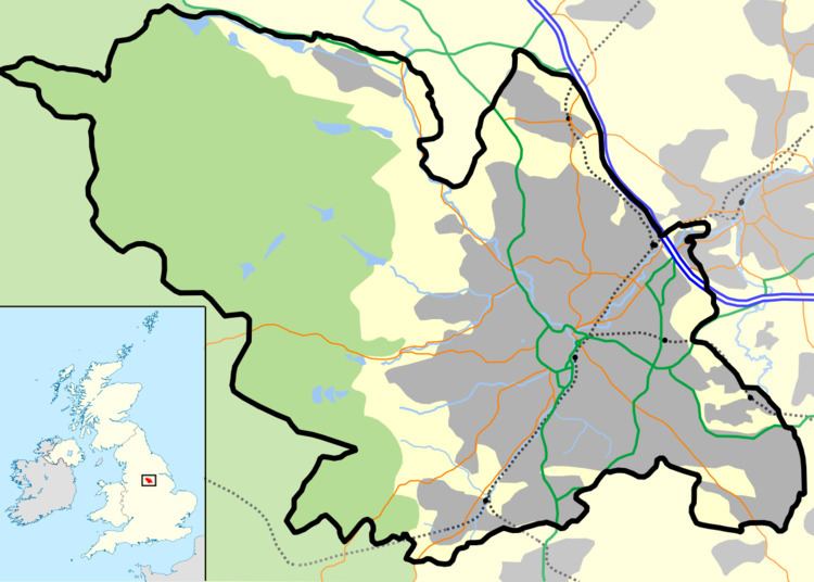
Map of Deepcar, Sheffield, UK
Geography
The village lies southwest of the confluence of the River Don and Little Don River, and near to the junctions of the A616 road and A6102 roads, and the former junction of the 'Woodhead Line' (Sheffield to Penistone section, built for the Sheffield, Ashton-under-Lyne and Manchester Railway) and private Stocksbridge Railways; the village was served by the Deepcar railway station from 1846 to 1959.
History
The Deepcar archaeological site, dating to the mesolithic period, and ascribed to the Maglemosian culture was excavated in 1962 close to the junction of the Don and Little Don at Wharcliffe Wood. (grid reference SK 2920 9812). The site's culture has similarities to Star Carr in North Yorkshire, but gives its name to unique "Deepcar type assemblages" of microliths in the archaeology literature.
A potential Romano-British settlement has also been identified near the river banks.