
- location south of Bouldercombe Length 97 km | - elevation 642 m (2,106 ft) - elevation 55 m (180 ft) | |
 | ||
- right Boulder Creek, Oaky Creek, Pruce Creek | ||
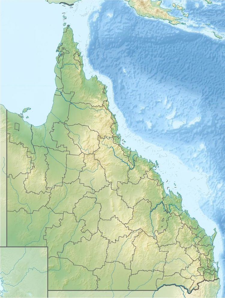
The Dee River is a river located in Central Queensland, Australia.
Contents
Course and features
Part of the Fitzroy River system, the Dee River rises in the Razorback Range south of Bouldercombe Gorge Resources Reserve near Mount Gavial, south of Bouldercombe. The river flows generally south by west through the mining settlement of Mount Morgan, Waluml and Dululu, where the river is crossed by the Burnett Highway. The river is joined by seven minor tributaries including Limestone Creek, Horse Creek, Hamilton Creek, Nine Mile Creek, Boulder Creek, Oaky Creek and Pruce Creek. The Dee River forms its confluence with the Don River near Rannes.
The largest dam on the river is Number 7 Dam, built for the Mount Morgan Mine, which has a history of acid mine discharge from gold and copper mining entering the Dee River.
Mine pit
In January 2013, the mine pit overflowed. Approximately 700 millimetres (28 in) of rain fell after ex-tropical Cyclone Oswald resulted in the 2013 Eastern Australia floods. Towards the end of February the dam was spilling acid and heavy metals into the river. Concerns regarding the discolouration of the river's water and fears of contamination causing irreversible damage to the river were raised in mid-2011.