
District Barddhaman Vehicle registration WB Elevation 19 m Local time Sunday 12:09 PM | Time zone IST (UTC+5:30) Website bardhaman.gov.in Population 9,967 (2011) | |
 | ||
Weather 29°C, Wind E at 2 km/h, 50% Humidity | ||
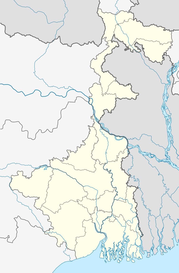
Debipur is a census town in Kanksa CD Block of Durgapur subdivision in Barddhaman district in the state of West Bengal, India.
Contents
Map of Debipur, West Bengal
Geography
The Asansol-Durgapur region is composed of undulating latterite soil. This area lies between two mighty rivers – the Damodar and the Ajay. They flow almost parallel to each other in the region – the average distance between the two rivers is around 30 km. The entire Durgapur-Kanksa-Faridpur-Ausgram area was densely forested even in more recent times. The influx of refugees from East Pakistan and their rehabilitation in the area, and irrigation facilities extended by Damodar Valley Corporation led to destruction of much of the forests in the area, but some still remain.
Demographics
As per the 2011 Census of India Debipur had a total population of 9,967, of which 5,064 (51%) were males and 4,903 (49%) were females. Population below 6 years was 1,084. The total number of literates in Debipur was 7,402 (83.33% of the population over 6 years).
As of 2001 India census, Debipur had a population of 9115. Males constitute 52% of the population and females 48%. Debipur has an average literacy rate of 68%, higher than the national average of 59.5%: male literacy is 75% and, female literacy is 60%. In Debipur, 12% of the population is under 6 years of age.
Transport
SH 14 passes through Debipur.