
 | ||
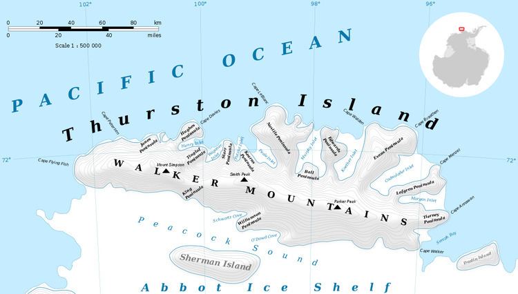
Deadmond Glacier (72°1′S 96°27′W) is a glacier about 6 nautical miles (11 km) long, flowing from the east side of Evans Peninsula on Thurston Island into Cadwalader Inlet. It was discovered by the U.S. Navy Bellingshausen Sea Expedition in February 1960, and was named by the Advisory Committee on Antarctic Names for Lieutenant Commander Robert B. Deadmond, executive officer of the USS Burton Island, forming part of this expedition.
Contents
Map of Deadmond Glacier, Antarctica
Maps
References
Deadmond Glacier Wikipedia(Text) CC BY-SA