
Elevation 3,924 ft (1,196 m) Country United States of America | ||
 | ||
Topo map USGS Fifteenmile Valley District | ||
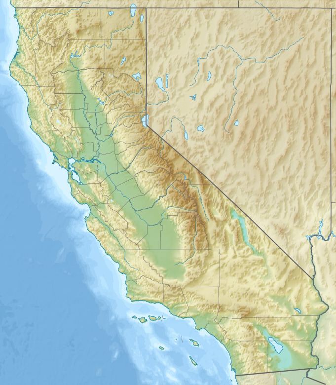
The Deadman Hills are a low mountain range in the central Mojave Desert, in San Bernardino County, southern California.
Map of Deadman Hills, California 92307, USA
The hills define the eastern side of Apple Valley, both the landform and community.
California State Route 18 passes through the southern end of the range en route to the Lucerne Valley to the east.
References
Deadman Hills Wikipedia(Text) CC BY-SA