
Country United States County Jasper Time zone CST (UTC-6) Elevation 204 m Local time Saturday 4:48 PM Population 3,943 (2013) | State Indiana FIPS code 18-17722 Area 9.35 km² Zip code 46310 Area code 219 | |
 | ||
Weather 5°C, Wind E at 27 km/h, 63% Humidity | ||
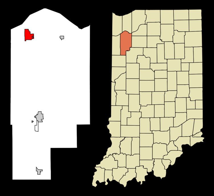
DeMotte is a town in Keener Township, Jasper County, Indiana, United States. The population was 3,814 at the 2010 census.
Contents
- Map of De Motte IN 46310 USA
- Blueberry picking in demotte indiana on july 12 2016 video 2
- History
- Geography
- 2010 census
- 2000 census
- Notable people
- Education
- Festivals
- Attractions
- References
Map of De Motte, IN 46310, USA
Blueberry picking in demotte indiana on july 12 2016 video 2
History
DeMotte was made a station by the New York Central Railroad when the line was extended to that point in the early 1880s. The DeMotte post office opened in 1882. DeMotte was named for Mark L. De Motte, a member of Congress at the time.
Geography
DeMotte is located at 41°11′53″N 87°11′57″W (41.198077, -87.199190). According to the 2010 census, De Motte has a total area of 3.61 square miles (9.35 km2), all land.
U.S. Route 231 and Indiana State Road 10 run through DeMotte.
2010 census
As of the census of 2010, there were 3,814 people, 1,560 households, and 1,062 families residing in the town. The population density was 1,056.5 inhabitants per square mile (407.9/km2). There were 1,668 housing units at an average density of 462.0 per square mile (178.4/km2). The racial makeup of the town was 96.2% White, 0.4% African American, 0.3% Native American, 0.4% Asian, 1.4% from other races, and 1.3% from two or more races. Hispanic or Latino of any race were 4.7% of the population.
There were 1,560 households of which 31.3% had children under the age of 18 living with them, 53.4% were married couples living together, 9.9% had a female householder with no husband present, 4.8% had a male householder with no wife present, and 31.9% were non-families. 28.8% of all households were made up of individuals and 16.5% had someone living alone who was 65 years of age or older. The average household size was 2.42 and the average family size was 2.93.
The median age in the town was 39.4 years. 24.4% of residents were under the age of 18; 7.2% were between the ages of 18 and 24; 24.5% were from 25 to 44; 23.4% were from 45 to 64; and 20.7% were 65 years of age or older. The gender makeup of the town was 46.5% male and 53.5% female.
2000 census
As of the census of 2000, there were 3,234 people, 1,297 households, and 897 families residing in the town. The population density was 900.7 people per square mile (347.8/km²). There were 1,361 housing units at an average density of 379.1 per square mile (146.4/km²). The racial makeup of the town was 99.01% White, 0.06% African American, 0.06% Native American, 0.06% Asian, 0.25% from other races, and 0.56% from two or more races. Hispanic or Latino of any race were 1.61% of the population.
There were 1,297 households out of which 30.8% had children under the age of 18 living with them, 58.8% were married couples living together, 7.2% had a female householder with no husband present, and 30.8% were non-families. 28.3% of all households were made up of individuals and 17.1% had someone living alone who was 65 years of age or older. The average household size was 2.44 and the average family size was 2.98.
In the town, the population was spread out with 25.0% under the age of 18, 7.5% from 18 to 24, 26.5% from 25 to 44, 20.1% from 45 to 64, and 20.9% who were 65 years of age or older. The median age was 38 years. For every 100 females there were 88.4 males. For every 100 females age 18 and over, there were 83.8 males.
The median income for a household in the town was $37,557, and the median income for a family was $44,583. Males had a median income of $36,705 versus $22,941 for females. The per capita income for the town was $19,059. About 7.0% of families and 7.7% of the population were below the poverty line, including 7.5% of those under age 18 and 6.5% of those age 65 or over.
Notable people
Charles A. Halleck, a Republican leader in the U.S. House of Representatives between 1946 and 1964, was born near DeMotte in 1900. A prominent member of the Conservative coalition, Halleck served as the House Majority Leader after the elections of 1946 and 1952 and Minority Leader from 1959 to 1964 when he was defeated in his bid to remain Minority Leader by Rep. Gerald Ford of Michigan.
Education
Covenant Christian High School and DeMotte Christian School (P-8th grade) are located in DeMotte. It was founded and is supported by the Reformed churches in the area like First Church, First Christian Reformed Church, American Reformed Church, and others.
The Kankakee Valley School Corporation serves DeMotte. DeMotte Elementary School is located in DeMotte. Residents are served by Kankakee Valley Intermediate School, Kankakee Valley Middle School, and Kankakee Valley High School in Wheatfield Township.
Festivals
Touch of Dutch - This festival takes place each year early in August as a celebration of the Dutch American heritage in the DeMotte area. Many area businesses have vendor tents set up in downtown DeMotte for people to visit.
Attractions
The town of DeMotte is home to a park known as Field of Dreams. This park serves as a place where members of or around the community can exercise and stay healthy. Field of Dreams is known for the several town sports it holds as soccer, baseball, and softball games are held throughout the year. Field of Dreams also includes a one mile path that people may run, walk, or jog around and one set of basketball courts.