
County San DiegoRiverside Area codes 442/760 Elevation 396 m | Time zone Pacific (PST) (UTC-8) GNIS feature ID 1868370 Local time Saturday 12:08 PM | |
 | ||
Weather 18°C, Wind W at 13 km/h, 44% Humidity | ||
De Luz Heights is an unincorporated community that straddles the County line between northwest San Diego County and southwest Riverside County, California.
Contents
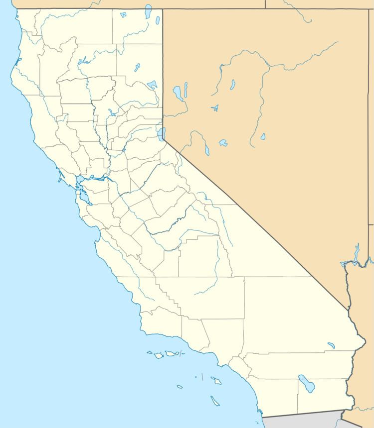
Map of De Luz Heights, CA 92028, USA
Geography
De Luz Heights is on the Santa Rosa Plateau of the Santa Ana Mountains. It is between De Luz Road to the west and Sandia Creek Road to the east. It is northwest of Fallbrook, southwest of Temecula. and borders Marine Corps Base Camp Pendleton on the west.
De Luz Heights is an agricultural community with narrow country lanes lined by avocado groves, commercial flower nurseries, citrus ranches, and vineyards.
References
De Luz Heights, California Wikipedia(Text) CC BY-SA