
Postal code (street) 6875 Area 7.6 km² Local time Saturday 8:39 PM | PO box 6875 Area code 023 | |
 | ||
Weather 19°C, Wind W at 8 km/h, 46% Humidity | ||
De Doorns is a town in Cape Winelands District Municipality in the Western Cape province of South Africa.
Contents
Map of De Doorns, South Africa
Location
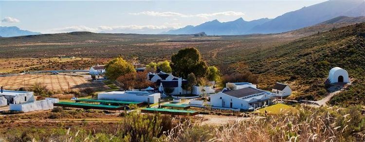
It lies in the Hex River Valley, 32 km north-east of Worcester and 40 km south-west of Touwsrivier. It is in the centre of an export grape growing region, surrounded by over 200 table grape farms.
History
The town takes its name from the farm "De Doorns boven aan de Hex Rivier" (‘the thorns on the upper Hex River’), known as early as 1725. The area was declared a sub-drosty of Tulbagh in 1819 and the farm became the seat of the area's own drosty in 1822.
The De Doorns farm was bought by the government of Cape Prime Minister John Molteno in 1875, to build a railway station for the rapidly expanding Cape Government Railways. The line was immediately built through De Doorns, connecting it to Cape Town on the coast and reaching Montagu Road(later Touws River) in 1877, on its way to Kimberley. Around the station, the hamlet of De Doorns would later develop.
A village management board was instituted for De Doorns in 1933 and municipal status attained in 1951.