
Arabic دير آبان Population 2100 (1945) | Name meaning The Monastery of Aban Palestine grid 151/127 | |
 | ||
fatima ebrahim dayr aban
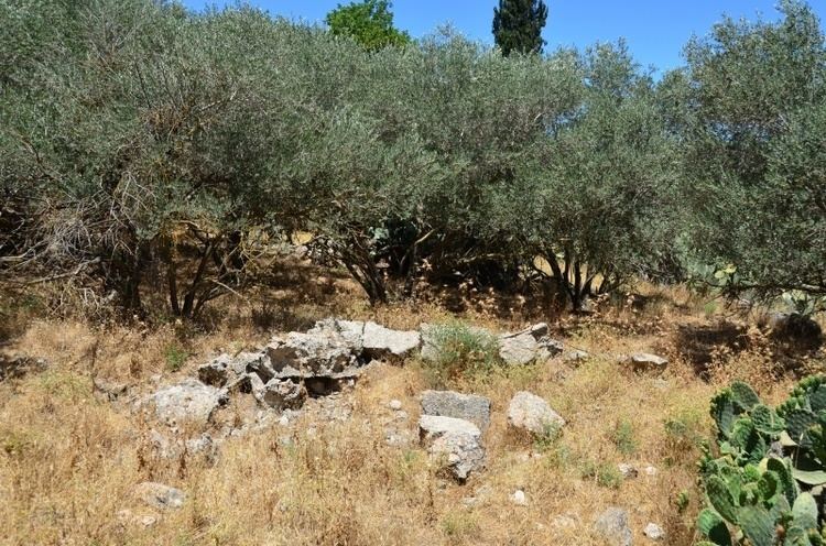
Dayr Aban (also spelled Deir Aban; Arabic: دير آبان) was a Palestinian Arab village in the Jerusalem Subdistrict, located on the lower slope of a high ridge that formed the western slope of a mountain, to the east of Beit Shemesh. It was formerly bordered by olive trees to the north, east, and west. The valley, Wadi en-Najil, ran north and south on the west-side of the village. It was depopulated during the 1948 Arab-Israeli War on October 19, 1948, under Operation Ha-Har. It was located 21 km west of Jerusalem.
Contents
History
In pre-Roman and Roman times the settlement was referred to as Abenezer.
Ottoman era
In 1596, Dayr Aban appeared in Ottoman tax registers as being in the Nahiya of Quds of the Liwa of Quds. It had a population of 23 Muslim households and 23 Christian households; that is, an estimated 127 persons. They paid a fixed tax rate of 33,3% on agricultural products, such as wheat, barley, olives, and goats or beehives; a total of 9,700 Akçe.
Victor Guérin described it in 1863 as being a large village, and its adjacent valley "strewn with sesame."
In 1883, the Palestine Exploration Fund's Survey of Western Palestine described Dayr Aban as "a large village on the lower slope ot a high ridge, with a well to the north, and olives on the east, west, and north."
British Mandate era
In the 1922 census of Palestine, conducted by the British Mandate authorities, Dair Aban had a population of 1,214 inhabitants, all Muslims, increasing in the 1931 census to 1534 inhabitants, in 321 houses.
In 1945, the village had a total population of 2,100 Arabs; 10 Christians and 2090 Muslims, with a total of 22,734 dunums of land. Of this, Arabs used 1,580 dunams for irrigable land or plantations, 14,925 for cereals, while 54 dunams were built-up (urban) Arab land.
Dayr Abban had a mosque and a pipeline transporting water from 'Ayn Marjalayn, 5 km to the east. The village contains three khirbats: Khirbat Jinna'ir, Khirbat Haraza, and Khirbat al-Suyyag.
Today, near the site of the old village, is built the moshav, Mahseya. It is built on the land of Dayr Aban, as is Tzor'a, Beyt Shemesh and Yish'i.
Etymology
The prefix "Dayr" which appears in many village names is of Aramaic and Syriac-Aramaic origin, and has the connotation of "habitation," or "dwelling place," usually given to places where there was once a Christian population, or settlement of monks. In most cases, a monastery was formerly built there, and, throughout time, the settlement expanded. Dayr Aban would, therefore, literally mean, "the Monastery of Aban."