
Arabic دير عمرو Palestine grid 159/131 | Date of depopulation 17 July 1948 | |
 | ||
Name meaning Kh. Deir ’Amr, the ruin of the monastery of Amr | ||
Dayr 'Amr was a Palestinian Arab village in the Jerusalem Subdistrict. It was depopulated during the 1948 Arab-Israeli War on July 17, 1948 by the Fourth Battalion of the Har'el Brigade, during the second stage of Operation Dan. It was located 12.5 km west of Jerusalem. Dayr 'Amr was named after a local sage known by al-Sa'i 'Amr and a shrine was in the village dedicated to him.
Contents
History
In 1883, the Palestine Exploration Fund's Survey of Western Palestine found "ruined walls" at Khurbet Deir 'Amr.
British Mandate era
In the 1922 census of Palestine, conducted by the British Mandate authorities, Dair Amr had a population 5, all Muslims, while in the 1931 census, it was counted with Suba, and together they had a population of 434 Muslims, in 110 houses.
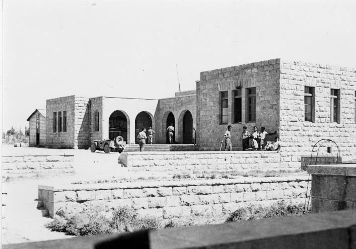
Freya Stark recalled how she met with Ahmad Samih Khalidi, the principal of Arab College (Jerusalem), and "his charming Syrian wife" and inspected the orphanage which was built at Dayr 'Amr. The first £ 1,000 was collected among fourteen Arabs of Jerusalem, who started it in 1940. They built a school, a farm, and a directors house in "strong stone" at the top of a stony hill. The student learned agriculture, which they could use when they returned to their villages.
In 1945 only 10 Muslims were recorded, with a total of 3,072 dunums of land. Of this, 18 dunams were for irrigable land or plantations, 650 for cereals, while 2,404 dunams were non-cultivable land.