Local time Saturday 9:07 PM | Time zone IST (UTC+5:30) ISO 3166 code ISO 3166-2:IN | |
 | ||
Telephone code 06224postal_code = 844502 Weather 23°C, Wind NW at 0 km/h, 59% Humidity | ||
Dayalpur Sapha is a village in Hajipur, Vaishali, in the state of Bihar. It has existed since around 1500 AD
Contents
- Map of Dayalpur Sapha Bihar
- Population
- Climate
- Crops
- Electricity and water
- Places of interest
- Transport
- Name of Colleges
- Name of the Schools
- Health Centre
- References
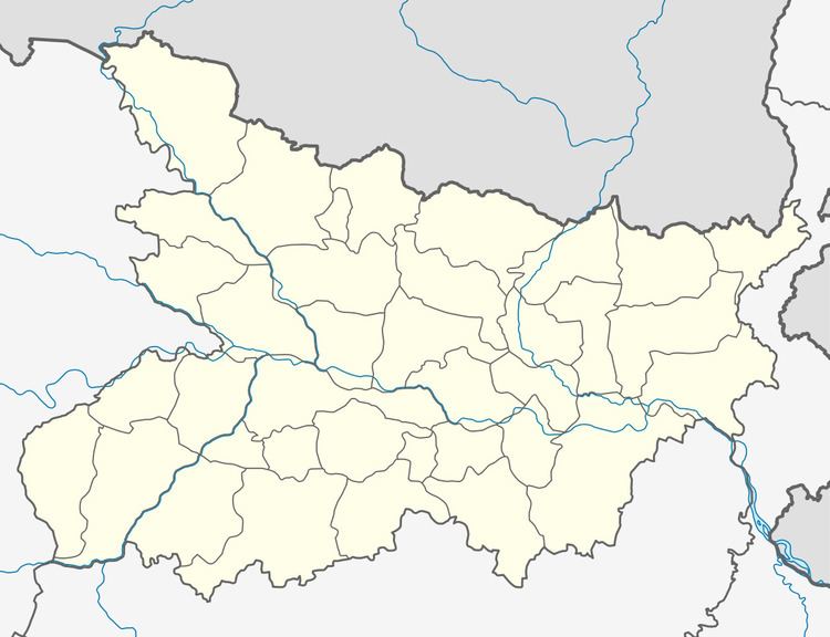
Map of Dayalpur Sapha, Bihar
Population
The population is approximately 9,865 (98% Hindu and 2% Muslim). The literacy rate is 53.03% with the female rate being 38.94% and male rate 66.51%.
Climate
The region is very green with plants and trees growing in semi-tropical monsoon climate. The months of May–June are extremely hot and December–January are very cold.
Crops
The village has many Banana, Litchi and Mango plantations.
Electricity and water
Electrified and drinking water (State govt. is started a project pure water for every house) mostly depended on hand pumps.Ward No. 7 Dhamauli in Dayalpur Panchayat is development village.
Places of interest
Dayalpur Math (Old Mandir, Talab with Chath Ghat and Community centre), Dayalpur High School
Transport
No public Transport provided by Government. One private bus operates from this village to Hajipur town. Well connected by road from Hajipur(14 km), Patna (20 km), Muzaffarpur (55 km) and Samastipur (50 km). Nearest Railway Station Hajipur Junction (14 km), Akshayvat Rai Nagar (Bidupur) Railway Station (3 km), Chakmakrand Halt (3 km). Nearest Airport, Patna Airport (25 km). Auto service available from Hajipur (as Public transport) to Bidupur, Fulhara and Rajapakar (from their on hired basis)
Name of Colleges
B.M.D. College in Dayalpur
Name of the Schools
Government High School, Dayalpur (Residential) Total no. of Primary School : 03
Health Centre
Primary health Center : 01 Hospital : NIL
